Callipulli Airport
Callipulli Airport (Spanish: Aeropuerto Callipulli), (ICAO: SCCP) was a rural airstrip 22 kilometres (14 mi) east of Osorno, a city in the Los Lagos Region of Chile.
Callipulli Airport | |||||||||||
|---|---|---|---|---|---|---|---|---|---|---|---|
| Summary | |||||||||||
| Airport type | Closed | ||||||||||
| Serves | Osorno | ||||||||||
| Elevation AMSL | 377 ft / 115 m | ||||||||||
| Coordinates | 40°37′11.0″S 72°50′46.9″W | ||||||||||
| Map | |||||||||||
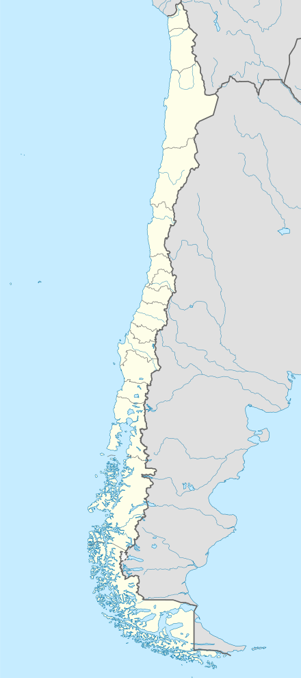 SCCP Location of Callipulli Airport in Chile | |||||||||||
| Runways | |||||||||||
| |||||||||||
Source: Google Maps[1] | |||||||||||
Google Earth Historical Imagery shows the 900 metres (3,000 ft) grass airstrip was converted to cropland between (1/5/2003) and (12/27/2010).
See also


- Transport in Chile
- List of airports in Chile
References
- Google (2013-09-10). "location of Callipulli Airport" (Map). Google Maps. Google. Retrieved 2013-09-10.
This article is issued from Wikipedia. The text is licensed under Creative Commons - Attribution - Sharealike. Additional terms may apply for the media files.