Bunderchrinde Pass
The Bunderchrinde Pass is a mountain pass of the Bernese Alps. The pass crosses the col between the peaks of Gross Lohner and Chlyne Lohner, at an elevation of 2,385 m (7,825 ft).[1]
| Bunderchrinde Pass | |
|---|---|
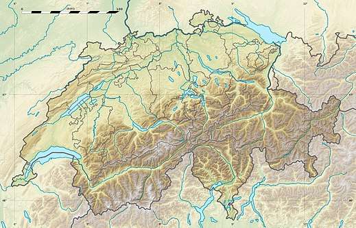 Sefinenfurgge Pass Location in Switzerland | |
| Elevation | 2,385 m (7,825 ft) |
| Traversed by | Track or trail |
| Location | Canton of Bern |
| Range | Bernese Alps |
| Coordinates | 46°30′40″N 07°46′12″E |
The pass is traversed by a hiking track, which connects Kandersteg, at an elevation of 1,174 m (3,852 ft) in the valley of the Kander river, with Adelboden, at an elevation of 1,350 m (4,430 ft) in the valley of the Engstlige river. The track forms part of the Alpine Pass Route, a long-distance hiking trail across Switzerland between Sargans and Montreux.[1][2]
References
- map.geo.admin.ch (Map). Swiss Confederation. Retrieved 2015-05-21.
- Reynolds, Kev (2011). "Trek 10 - Alpine Pass Route". Trekking in the Alps. Cicerone. pp. 124–135. ISBN 978 1 85284 600 8.
This article is issued from Wikipedia. The text is licensed under Creative Commons - Attribution - Sharealike. Additional terms may apply for the media files.