Buckeye Municipal Airport
Buckeye Municipal Airport (IATA: BXK, ICAO: KBXK, FAA LID: BXK) is a city-owned public-use airport located 7 miles (6.1 nmi; 11 km) northwest of the central business district of Buckeye, a city in Maricopa County, Arizona, United States.[1] The airport is included in the FAA's National Plan of Integrated Airport Systems for 2009–2013, which categorizes it as a general aviation facility.[2] It is not served by any commercial airlines at this time.


Buckeye Municipal Airport | |||||||||||
|---|---|---|---|---|---|---|---|---|---|---|---|
 | |||||||||||
| Summary | |||||||||||
| Airport type | Public | ||||||||||
| Owner | City of Buckeye | ||||||||||
| Serves | Buckeye, Arizona | ||||||||||
| Elevation AMSL | 1,033 ft / 315 m | ||||||||||
| Coordinates | 33°25′14″N 112°41′10″W | ||||||||||
| Website | Buckeye Airport | ||||||||||
| Map | |||||||||||
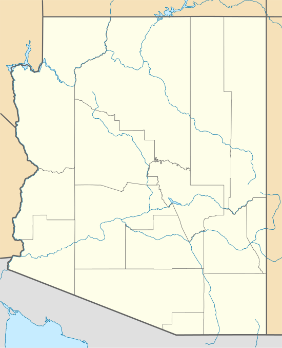 BXK Location within Arizona | |||||||||||
| Runways | |||||||||||
| |||||||||||
| Statistics (2010) | |||||||||||
| |||||||||||
Facilities and aircraft
Buckeye Municipal Airport covers an area of 706 acres (286 ha) at an elevation of 1,033 feet (315 m) above mean sea level. It has one runway designated 17/35 with an asphalt surface measuring 5,500 by 75 ft (1,676 by 23 m).[1]
For the 12-month period ending April 22, 2009, the airport had 52,920 aircraft operations, an average of 144 per day: 99.8% general aviation, 0.2% military and <0.1% air taxi. At that time there were 44 aircraft based at this airport: 75% single-engine, 5% multi-engine, 9% helicopter and 11% ultralight.[1]
History
The field was originally an auxiliary airfield for Luke Air Force Base built during World War Two. After the war it was obtained by the Town of Buckeye (Now City of Buckeye) for use as a civilian airport.[3]
References
- FAA Airport Master Record for BXK (Form 5010 PDF). Federal Aviation Administration. Effective 29 July 2010.
- National Plan of Integrated Airport Systems for 2009–2013: Appendix A: Part 1 (PDF, 1.33 MB) Archived August 6, 2011, at the Wayback Machine. Federal Aviation Administration. Updated 15 October 2008.
- https://web.archive.org/web/20141102043840/http://www.airfieldsdatabase.com/WW2/WW2%20R26c1%20AL-CA.htm
External links
- Airport page at City of Buckeye website
- "Airport page and diagram". Buckeye Economic Development. Archived from the original on 6 December 2006.
- Buckeye Municipal Airport (BXK) at Arizona DOT airport directory
- Aerial image as of 23 February 1992 from USGS The National Map
- Resources for this airport:
- FAA airport information for BXK
- AirNav airport information for KBXK
- ASN accident history for BXK
- FlightAware airport information and live flight tracker
- NOAA/NWS weather observations: current, past three days
- SkyVector aeronautical chart, Terminal Procedures