Brussels Peak
Brussels Peak is a 3,161 metre mountain summit located in the Athabasca River valley of Jasper National Park, in the Canadian Rockies of Alberta, Canada. The nearest higher peak is Mount Fryatt, 6.75 km (4.19 mi) to the northwest.[3] Brussels Peak can be seen from the Icefields Parkway.
| Brussels Peak | |
|---|---|
 Brussels Peak centered between Mount Christie (left) and Mount Lowell (right) | |
| Highest point | |
| Elevation | 3,161 m (10,371 ft) [1] |
| Prominence | 671 m (2,201 ft) [1] |
| Parent peak | Mount Fryatt[1] |
| Coordinates | 52°31′02″N 117°49′21″W [2] |
| Geography | |
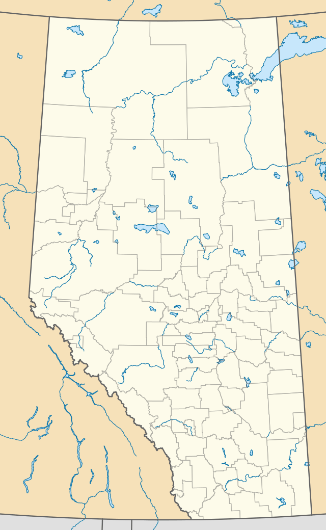 Brussels Peak Location in Alberta | |
| Location | Alberta, Canada |
| Parent range | Canadian Rockies |
| Topo map | NTS 83C/12[2] |
| Climbing | |
| First ascent | 1948 by R. Garner and J. Lewis[1] |
Brussels Peak was named after the ship SS Brussels.[4]
Climate
Based on the Köppen climate classification, Brussels Peak is located in a subarctic climate with cold, snowy winters, and mild summers.[5] Temperatures can drop below -20 C with wind chill factors below -30 C. Precipitation runoff from Brussels Peak drains into the Athabasca River.
See also
References
- "Brussels Peak". Bivouac.com. Retrieved 2017-08-06.
- "Brussels Peak". Geographical Names Data Base. Natural Resources Canada. Retrieved 2017-08-06.
- "Mount Brussels, Alberta". Peakbagger.com.
- Place-names of Alberta. Ottawa: Geographic Board of Canada. 1928. p. 25. Retrieved 2017-08-06.
- Peel, M. C.; Finlayson, B. L. & McMahon, T. A. (2007). "Updated world map of the Köppen−Geiger climate classification". Hydrol. Earth Syst. Sci. 11: 1633–1644. ISSN 1027-5606.
External links
- Parks Canada web site: Jasper National Park
- American Alpine Journal: The First Ascent of Brussels Peak
This article is issued from Wikipedia. The text is licensed under Creative Commons - Attribution - Sharealike. Additional terms may apply for the media files.