Bona Mansio Island
Bona Mansio Island (Bulgarian: остров Бона Мансио, romanized: ostrov Bona Mansio, IPA: [ˈɔstrov ˈbɔnɐ ˈmansio]) is the ice-covered island extending 750 m in east–west direction and 635 m in south–north direction lying in Papazov Passage, Biscoe Islands. The island is separated from the west coast of Krogh Island by a 700 m long passage narrowing to 50 m at points. Its surface area is 30 ha. The feature was formed as a result of the retreat of Krogh Island's ice cap around the turn of 21st century.[1]
 Bona Mansio Island Location of Bona Mansio Island 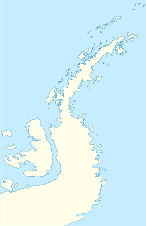 Bona Mansio Island Bona Mansio Island (Antarctic Peninsula) | |
| Geography | |
|---|---|
| Location | Antarctica |
| Coordinates | 66°15′06″S 67°06′25″W |
| Archipelago | Biscoe Islands |
| Area | 30 ha (74 acres) |
| Length | 750 m (2,460 ft) |
| Width | 635 m (2,083 ft) |
| Administration | |
| Administered under the Antarctic Treaty System | |
| Demographics | |
| Population | uninhabited |
The island is named after the ancient Roman road station of Bona Mansio in Southern Bulgaria.[1]
Location
Bona Mansio Island is located at 66°15′06″S 67°06′25″W, which is 90 m east-southeast of St. Christopher Island, 2.55 km southeast of Talbott Point on DuBois Island and 2.55 km southwest of Edholm Point on Krogh Island.
Maps
- British Antarctic Territory. Scale 1:200000 topographic map. DOS 610 Series, Sheet W 66 66. Directorate of Overseas Surveys, UK, 1976
- Antarctic Digital Database (ADD). Scale 1:250000 topographic map of Antarctica. Scientific Committee on Antarctic Research (SCAR). Since 1993, regularly upgraded and updated
See also
- List of Antarctic and subantarctic islands
Notes
- Bona Mansio Island. SCAR Composite Gazetteer of Antarctica
References
- Bona Mansio Island. SCAR Composite Gazetteer of Antarctica
- Bulgarian Antarctic Gazetteer. Antarctic Place-names Commission. (details in Bulgarian, basic data in English)
External links
- Bona Mansio Island. Adjusted Copernix satellite image
This article includes information from the Antarctic Place-names Commission of Bulgaria which is used with permission.