Bolton River (Ontario)
The Bolton River is a river near the community of Iron Bridge in Huron Shores, Algoma District, Ontario, Canada. It is 5.4 kilometres (3 mi) long and begins at Bright Lake at an elevation of 181 metres (594 ft). It takes in an unnamed creek from Dean lake at 46°15′27″N 83°13′31″W at an elevation of 174 metres (571 ft), and empties into the Mississagi River at an elevation of 173 metres (568 ft).
| Bolton River | |
|---|---|
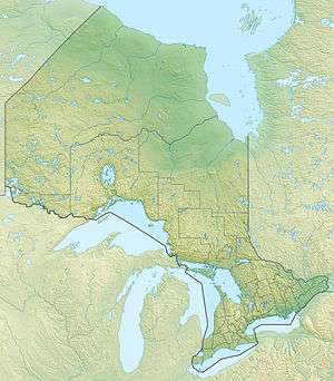 Location of the mouth of the Bolton River in Ontario | |
| Location | |
| Country | Canada |
| Province | Ontario |
| District | Algoma District |
| Municipality | Huron Shores |
| Physical characteristics | |
| Source | Bright Lake |
| • coordinates | 46°15′01″N 83°15′51″W |
| • elevation | 181 m (594 ft) |
| Mouth | Mississagi River |
• coordinates | 46°15′37″N 83°12′50″W |
• elevation | 173 m (568 ft) |
| Length | 5.4 km (3.4 mi) |
See also
References
- "Bolton River". Geographical Names Data Base. Natural Resources Canada. Retrieved 2011-02-09.
- "Toporama - Topographic Map Sheet 41J6". Atlas of Canada. Natural Resources Canada. Archived from the original on 2010-08-31. Retrieved 2010-01-02.
This article is issued from Wikipedia. The text is licensed under Creative Commons - Attribution - Sharealike. Additional terms may apply for the media files.