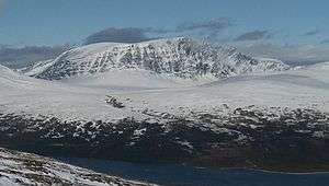
Blåhø
Blåhøa (or Blåhø) is a mountain in the municipality of Oppdal in Trøndelag county, Norway. It is the highest mountain at the northeastern side of the Trollheimen mountain range. The mountain is located in the northwestern part of the municipality of Oppdal, about 5 kilometres (3.1 mi) north of the lake Gjevillvatnet, about 14 kilometres (8.7 mi) west of Nerskogen (in Rennebu), and about 20 kilometres (12 mi) northwest of Vognillan.
| Blåhøa | |
|---|---|
| Blåhø | |
 | |
| Highest point | |
| Elevation | 1,671 m (5,482 ft) |
| Prominence | 910 m (2,990 ft) |
| Coordinates | 62.7542°N 09.3323°E [1] |
| Geography | |
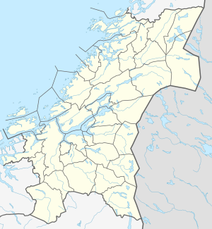 Blåhøa Location of the mountain 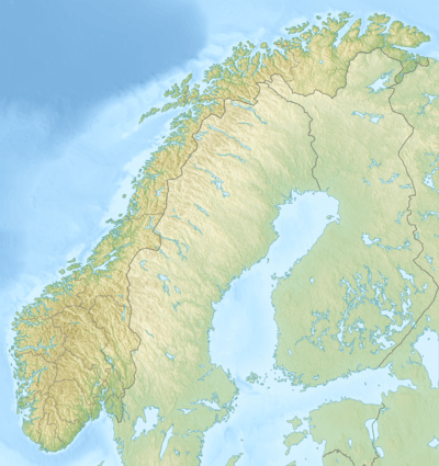 Blåhøa Blåhøa (Norway) | |
| Location | Trøndelag, Norway |
| Parent range | Trollheimen |
| Topo map | 1520 IV Trollhetta |
The 1,671-metre (5,482 ft) tall mountain has a topographic prominence of 910 metres (2,990 ft).[2] The Speilsalen glacial tunnel was located about 1.5 kilometres (0.93 mi) northeast of the peak.
Name
The first element is blå which means "blue", and the last element is hø(a) which means a "large and round mountain".
References
- "Blåhøa, Oppdal (Trøndelag)" (in Norwegian). yr.no. Retrieved 2017-03-23.
- Store norske leksikon. "Blåhø" (in Norwegian). Retrieved 2011-02-09.
This article is issued from Wikipedia. The text is licensed under Creative Commons - Attribution - Sharealike. Additional terms may apply for the media files.