Besiberri Massif
Besiberri Massif (Catalan: Massís del Besiberri) is a mountain massif of the central area of the Pyrenees, Lleida, Catalonia, Spain. It is located at the western limit of the Aigüestortes i Estany de Sant Maurici National Park.
| Besiberri Massif | |
|---|---|
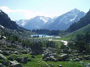 Glacial lake in the Besiberri Massif | |
| Highest point | |
| Elevation | 3,029 m (9,938 ft) |
| Coordinates | 42°36′01″N 0°49′31″E |
| Geography | |
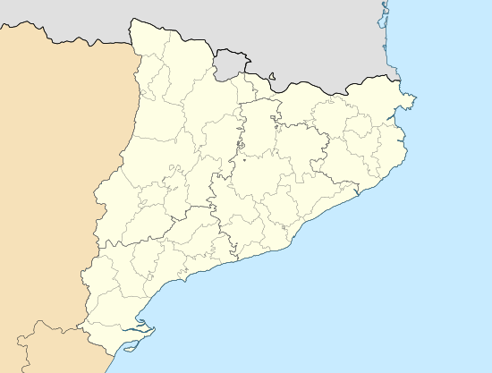 Besiberri Massif Catalonia, Spain | |
| Location | Vilaller & Vall de Boí (Alta Ribagorça) Naut Aran (Vall d'Aran) Catalonia |
| Parent range | Pyrenees |
| Climbing | |
| First ascent | Nils de Barck, Marcel & Henri Spont and J.M. Sansuc, 7 August 1899.[1] |
| Easiest route | From Estany de Cavallers |
Most main summits of the Besiberri Massif are three-thousanders. The highest point is Comaloforno with an altitude of 3029 metres above sea level. The other main summits are Besiberri Sud (3024 m), Besiberri Nord (3008 m), Besiberri del Mig (2995 m) and Punta Senyalada (2952 m).[2]
See also
- List of Pyrenean three-thousanders
- Geology of the Pyrenees
- Mountains of Catalonia
References
- Els tresors d'Aigüestortes i Sant Maurici. Pep Coll, Mercè Aniz i Víctor Luengo. Pagès Editors. Lleida 2002.
- Mapa Topogràfic de Catalunya - Institut Cartogràfic de Catalunya
External links
This article is issued from Wikipedia. The text is licensed under Creative Commons - Attribution - Sharealike. Additional terms may apply for the media files.