Bennefield Branch (Leipsic River tributary)
Bennefield Branch is a 1.40 mi (2.25 km) long 1st order tributary to the Leipsic River in Kent County, Delaware.
| Bennefield Branch Tributary to Leipsic River | |
|---|---|
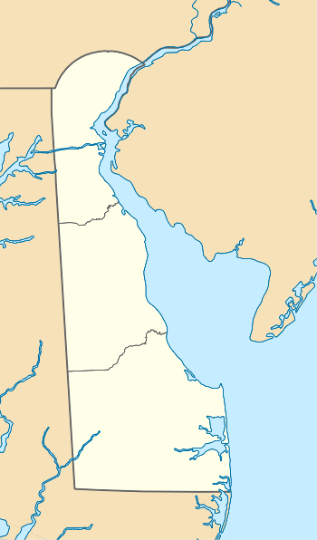 Location of Bennefield Branch mouth  Bennefield Branch (Leipsic River tributary) (the United States) | |
| Location | |
| Country | United States |
| State | Delaware |
| County | Kent |
| Physical characteristics | |
| Source | Finis Branch divide |
| • location | about 0.5 miles west of Whitehall Crossroads, Delaware |
| • coordinates | 39°16′08″N 075°32′03″W[1] |
| • elevation | 20 ft (6.1 m)[2] |
| Mouth | Leipsic River |
• location | about 0.5 miles northwest of Leipsic, Delaware |
• coordinates | 39°15′09″N 075°32′03″W[1] |
• elevation | 0 ft (0 m)[2] |
| Length | 1.40 mi (2.25 km)[3] |
| Basin size | 1.29 square miles (3.3 km2)[4] |
| Discharge | |
| • location | Leipsic River |
| • average | 1.59 cu ft/s (0.045 m3/s) at mouth with Leipsic River[4] |
| Basin features | |
| Progression | south |
| River system | Leipsic River |
| Tributaries | |
| • left | unnamed tributaries |
| • right | unnamed tributaries |
| Bridges | Big Woods Road |
Course
Bennefield Branch rises on the Finis Branch divide about 0.5 miles west of Whitehall Crossroads, Delaware. Bennefield Branch then flows south to meet the Leipsic River about 0.5 miles northwest of Leipsic.[2]
Watershed
Bennefield Branch drains 1.29 square miles (3.3 km2) of area, receives about 45.1 in/year of precipitation, has a topographic wetness index of 684.33 and is about 0% forested.[4]
References
- "GNIS Detail - Bennefield Branch". geonames.usgs.gov. US Geological Survey. Retrieved 25 November 2019.
- "Bennefield Branch Topo Map, Kent County DE (Smyrna Area)". TopoZone. Locality, LLC. Retrieved 25 November 2019.
- "ArcGIS Web Application". epa.maps.arcgis.com. US EPA. Retrieved 25 November 2019.
- "Bennefield Branch Watershed Report". Waters Geoviewer. US EPA. Retrieved 25 November 2019.
This article is issued from Wikipedia. The text is licensed under Creative Commons - Attribution - Sharealike. Additional terms may apply for the media files.