Batamay, Kobyaysky District, Sakha Republic
Batamay (Russian: Батамай) is a rural locality (a selo), and one of two settlements in Kirovsky Rural Okrug of Kobyaysky District in the Sakha Republic, Russia, in addition to Segyan-Kyuyol, the administrative center of the Rural Okrug. It is located 160 kilometers (99 mi) from Sangar, the administrative center of the district and 90 kilometers (56 mi) from Segyan-Kyuyol. Its population as of the 2002 Census was 216.[1]
Batamay Батамай | |
|---|---|
 | |
Location of Batamay 
| |
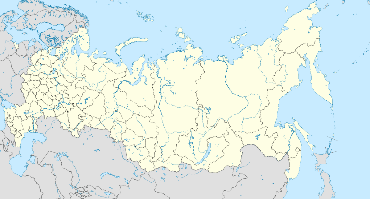 Batamay Location of Batamay 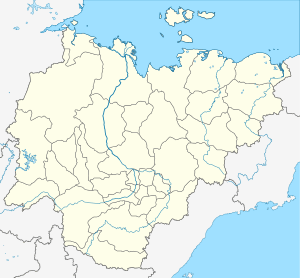 Batamay Batamay (Sakha Republic) | |
| Coordinates: 63°31′22″N 129°25′28″E | |
| Country | Russia |
| Federal subject | Sakha Republic[1] |
| Administrative district | Kobyaysky District[1] |
| Rural okrug | Kirovsky Rural Okrug[1] |
| Population | |
| • Estimate (2002)[1] | 216 |
| • Municipal district | Kobyaysky Municipal District[2] |
| • Rural settlement | Kirovsky Rural Settlement[2] |
| Time zone | UTC+9 (MSK+6 |
| Postal code(s)[4] | 678312 |
| OKTMO ID | 98624414106 |
Climate
Batamai has an extreme subarctic climate. (Köppen Dfd, bordering on Dwd) with extremely cold, long winters and short, warm summers.
| Climate data for Batamay, Kobyaysky District | |||||||||||||
|---|---|---|---|---|---|---|---|---|---|---|---|---|---|
| Month | Jan | Feb | Mar | Apr | May | Jun | Jul | Aug | Sep | Oct | Nov | Dec | Year |
| Record high °C (°F) | −8.9 (16.0) |
−6.6 (20.1) |
8.0 (46.4) |
20.0 (68.0) |
28.0 (82.4) |
32.6 (90.7) |
38.0 (100.4) |
37.0 (98.6) |
24.8 (76.6) |
13.9 (57.0) |
−1.3 (29.7) |
−11.9 (10.6) |
38.0 (100.4) |
| Average high °C (°F) | −37.4 (−35.3) |
−31.4 (−24.5) |
−15.9 (3.4) |
−1.7 (28.9) |
10.0 (50.0) |
19.5 (67.1) |
23.0 (73.4) |
19.5 (67.1) |
9.9 (49.8) |
−6.4 (20.5) |
−26.3 (−15.3) |
−36.3 (−33.3) |
−6.0 (21.2) |
| Daily mean °C (°F) | −40.9 (−41.6) |
−36.5 (−33.7) |
−23.0 (−9.4) |
−8.0 (17.6) |
5.0 (41.0) |
14.1 (57.4) |
17.3 (63.1) |
13.7 (56.7) |
4.9 (40.8) |
−10.3 (13.5) |
−30.2 (−22.4) |
−39.6 (−39.3) |
−11.0 (12.2) |
| Average low °C (°F) | −45.7 (−50.3) |
−43.1 (−45.6) |
−32.2 (−26.0) |
−16.7 (1.9) |
−1.5 (29.3) |
6.8 (44.2) |
9.8 (49.6) |
6.3 (43.3) |
−1.1 (30.0) |
−15.6 (3.9) |
−35.5 (−31.9) |
−44.1 (−47.4) |
−17.6 (0.3) |
| Record low °C (°F) | −65.7 (−86.3) |
−58.9 (−74.0) |
−53.2 (−63.8) |
−42.3 (−44.1) |
−22.2 (−8.0) |
−6.4 (20.5) |
−4.0 (24.8) |
−7.2 (19.0) |
−19.1 (−2.4) |
−45.0 (−49.0) |
−52.7 (−62.9) |
−60.0 (−76.0) |
−65.7 (−86.3) |
| Average precipitation mm (inches) | 8.4 (0.33) |
9.4 (0.37) |
9.9 (0.39) |
12.3 (0.48) |
24.8 (0.98) |
74.3 (2.93) |
46.6 (1.83) |
71.4 (2.81) |
44.9 (1.77) |
44.3 (1.74) |
22.7 (0.89) |
11.4 (0.45) |
380.4 (14.98) |
| Average precipitation days | 14.4 | 10.7 | 8.4 | 6.3 | 9.1 | 7.9 | 8.3 | 8.9 | 10.8 | 19.6 | 18.5 | 12.6 | 135.5 |
| Source: [5] | |||||||||||||
References
Notes
- Registry of the Administrative-Territorial Divisions of the Sakha Republic
- Law #173-Z 353-III
- "Об исчислении времени". Официальный интернет-портал правовой информации (in Russian). June 3, 2011. Retrieved January 19, 2019.
- Почта России. Информационно-вычислительный центр ОАСУ РПО. (Russian Post). Поиск объектов почтовой связи (Postal Objects Search) (in Russian)
- "Weather Averages for Batamay, Kobyaysky District (1948-2011)". climatebase.ru. Retrieved December 17, 2014.
Sources
- Official website of the Sakha Republic. Registry of the Administrative-Territorial Divisions of the Sakha Republic. Kobyaysky District. (in Russian)
- Государственное Собрание (Ил Тумэн) Республики Саха (Якутия). Закон №173-З №353-III от 30 ноября 2004 г. «Об установлении границ и о наделении статусом городского и сельского поселений муниципальных образований Республики Саха (Якутия)», в ред. Закона №1058-З №1007-IV от 25 апреля 2012 г. «О внесении изменений в Закон Республики Саха (Якутия) "Об установлении границ и о наделении статусом городского и сельского поселений муниципальных образований Республики Саха (Якутия)"». Вступил в силу со дня официального опубликования. Опубликован: "Якутия", №245, 31 декабря 2004 г. (State Assembly (Il Tumen) of the Sakha (Yakutia) Republic. Law #173-Z No. 353-III of November 30, 2004 On Establishing the Borders and on Granting the Urban and Rural Settlement Status to the Municipal Formations of the Sakha (Yakutia) Republic, as amended by the Law #1058-Z No. 1007-IV of April 25, 2012 On Amending the Law of the Sakha (Yakutia) Republic "On Establishing the Borders and on Granting the Urban and Rural Settlement Status to the Municipal Formations of the Sakha (Yakutia) Republic". Effective as of the day of the official publication.).
This article is issued from Wikipedia. The text is licensed under Creative Commons - Attribution - Sharealike. Additional terms may apply for the media files.