Alipur, Bihar
Alipur is a village in Gaya district, in the state of Bihar, in eastern India.
Alipur | |
|---|---|
village | |
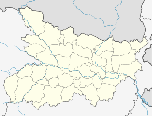 Alipur Location in Bihar, India  Alipur Alipur (India) | |
| Coordinates: 24.93°N 84.83°E | |
| Country | |
| State | Bihar |
| District | Gaya |
| Languages | |
| • Official | Magahii, Hindi |
| Time zone | UTC+5:30 (IST) |
| ISO 3166 code | IN-BR |
| Nearest city | Tekari |
| Climate | Humid Subtropical (Köppen) |
Overview
Alipur is a village located 9 km from the commercial town of Tikari in Gaya district in Bihar, India. Alipur has a population of 4,825 as of 2011. Alipur village has a marketplace. The local police station was established in 2001. Here, there is a government school up to class 8 as well as a government hospital is also established here. Alipur is a big marketplace for the nearby villages. The Mukhiya of Chaita Panchayat (Smt Mini Devi) is from Alipur
Religion
Alipur Village is home to a number of Hindu temples, namely:
- Shiv Temple
- Thakurbari
- Devi Maa
- Sankat Mochan Hanuman Mandir
- Sun Temple
- Ram Janki Mandir (under construction)
Geography
Alipur is located at 24.93°N 84.83°E. It has an average elevation of 82 metres (269 feet). It is located near the boundary of the Gaya district. The Village is bounded on the southeast by the Jahanabad district, on the south by Keshpa Village, on the west by Arwal, and on the northwest by Tikari Town. Alipur is 9 km from the city of Tekari, and is connected via a link road to the main road connecting Gaya to Jehanabad.
Demographics
The village has a sizeable population of the Bhumihar caste.