Alair
Alair is a town in Yadadri Bhuvanagiri district of the Indian state of Telangana. It is a Municipality and one of the Constituency in Yadadri Bhuvanagiri district. It is located about 73 kilometres East of the state capital, Hyderabad, 23 Kilometres from District Headquarters & Nearest City Bhongir, 74 kilometres from Warangal and 120 kilometres from Karimnagar [1] It is located in Alair mandal of Bhongir revenue division.[2][4]
Alair | |
|---|---|
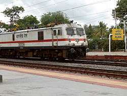 AP Express crossing Alair Railway Station | |
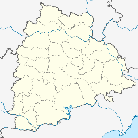 Alair Location in Telangana, India | |
| Coordinates: 17.65°N 79.05°E | |
| Country | India |
| State | Telangana |
| District | Yadadri Bhuvanagiri |
| Mandal | Alair |
| Revenue Division | Bhongir |
| Incorporated (town) | 1 August 2018 |
| Government | |
| • Type | Municipal council |
| • Body | Alair Municipality |
| Area | |
| • Total | 2,942 ha (7,270 acres) |
| Population (2011)[3] | |
| • Total | 18,054 |
| • Density | 610/km2 (1,600/sq mi) |
| Languages | |
| • Official | Telugu |
| Time zone | UTC+5:30 (IST) |
| PIN | 508101 |
| Area code(s) | +91–8685 |
| Vehicle registration | TS 30 |
| Website | alairmunicipality |
Geography
Aler is located at 17.6500°N 79.0500°E.[5] It has an average elevation of 361 metres (1187 ft).
Government and politics
Alair municipality is the local self-government, constituted on 1 August 2018, by merging Alair and Bahadurpeta gram panchayats.[1] Alair falls under Alair assembly constituency of Telangana Legislative Assembly, which is one of the segments of Bhongir Lok Sabha constituency.[6]
Transport
Aler is well connected by roadways which passes from Hyderabad to Warangal. The Telangana State Road Transport Corporation public transport buses to major destinations from Aler. Aler Railway Station is Located in Telangana. It belongs to South Central Railway.
References
- "Allocation of duties to ADMCs" (PDF). Telangana State Mission for Elimination of Poverty. Hyderabad: Municipal Administration and Urban development Department, Telangana. 13 August 2018. p. 6. Retrieved 8 May 2019.
- "District Census Hand Book - Nalgonda" (PDF). Census of India. Registrar General and Census Commissioner of India. pp. 13, 170. Retrieved 8 May 2019.
- "Population". Census of India. Registrar General and Census Commissioner of India. Retrieved 8 May 2019.
- "Revenue divisions and mandals in Yadadri district" (PDF). The official website of Yadadri Bhuvanagiri district. Revenue Department, Telangana. 11 October 2016. pp. 3, 4. Archived from the original (PDF) on 23 April 2019. Retrieved 19 May 2019.
- Aleru at Fallingrain.com
- "Delimitation of Parliamentary and Assembly Constituencies Order, 2008" (PDF). The Election Commission of India. National Informatics Centre. 17 December 2018. pp. 15, 29. Archived from the original (PDF) on 3 October 2018. Retrieved 25 April 2019.