Accomack County Airport
Accomack County Airport (IATA: MFV, ICAO: KMFV, FAA LID: MFV) is a county-owned public-use airport located 1 mile (1.6 km) west of the central business district of Melfa, a town in Accomack County, Virginia, United States.[1]
Accomack County Airport | |||||||||||
|---|---|---|---|---|---|---|---|---|---|---|---|
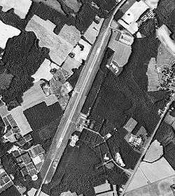 1995 USGS Photo | |||||||||||
| Summary | |||||||||||
| Airport type | Public | ||||||||||
| Owner | Accomack County Airport Commission | ||||||||||
| Location | Accomack County (near Melfa), Virginia, U.S. | ||||||||||
| Elevation AMSL | 47 ft / 14 m | ||||||||||
| Coordinates | 37°38′48″N 075°45′39″W | ||||||||||
| Map | |||||||||||
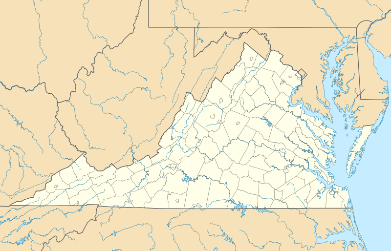 MFV Location of airport in Virginia | |||||||||||
| Runways | |||||||||||
| |||||||||||
| Statistics (2008) | |||||||||||
| |||||||||||
History
The airport was built by the United States Army Air Forces about 1942, and was known as Melfa Flight Strip. It was an emergency landing airfield for military aircraft on training flights. It was closed after World War II, and was turned over for local government use by the War Assets Administration (WAA).
Facilities and aircraft
Accomack County Airport covers an area of 100 acres which contains one runway designated 3/21 with a 5,000 x 100 ft (1,524 x 30 m) asphalt surface. For the 12-month period ending September 30, 2009, the airport had 14,056 aircraft operations, an average of 38 per day: 84% general aviation and 8% air taxi and 9% military. At that time there were 23 aircraft based at this airport: 22 single-engine and 1 multi-engine.[1]
References
- FAA Airport Master Record for MFV (Form 5010 PDF), effective 2009-09-30
![]()
- Shaw, Frederick J. (2004), Locating Air Force Base Sites History’s Legacy, Air Force History and Museums Program, United States Air Force, Washington DC, 2004.
External links
- Resources for this airport:
- FAA airport information for MFV
- AirNav airport information for MFV
- FlightAware airport information and live flight tracker
- SkyVector aeronautical chart for MFV