Wicklow Way
The Wicklow Way, Irish: Slí Cualann Nua, meaning "New Cuala Way") is a 129 km (80 mi) long-distance trail that crosses the Wicklow Mountains in Ireland.

- This article is an itinerary.
Understand
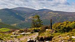
It runs from Marlay Park in the southern suburbs of Dublin through County Wicklow and ends in the village of Clonegal in County Carlow. It is designated as a National Waymarked Trail by the Irish Sports Council and is waymarked by posts with a yellow "walking man" symbol and a directional arrow. Typically completed in 5–7 days, it is one of the busiest of Ireland's National Waymarked Trails, with up to 24,000 people a year walking the most popular sections. The Way is also used regularly by a number of mountain running competitions.
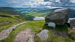
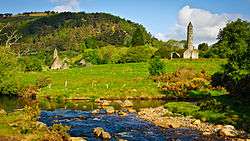
The trail follows forest tracks, mountain paths, boreens and quiet country roads. Mountains, upland lakes and steep-sided glacial valleys make up the terrain of the initial northern sections of the Way before giving way to gentler rolling foothills in the latter southern sections. Much of the route follows the contact point between the igneous granite of the western side of Wicklow and the metamorphic schists and slates of the eastern side. The principal habitat of the upland sections is a mixture of broadleaf and coniferous woodland, heath and blanket bog while in the lowland sections the hedgerows marking the boundaries between fields support a variety of wildlife. The Way aIrelandlso passes the Monastic City at Glendalough, founded in the 6th century by Saint Kevin.
Prepare

Get in
Walk
