Zemra Lake
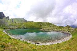
The Zemra Lake (Albanian: Liqeni i Zemrës) is a lake in the western edge of the Republic of Kosovo[lower-alpha 1]. Roughly in shape of a heart, the lake stretches inside the Prokletije, some 400 m (1,312 ft) away from Albania. It is situated between 2,200 and 2,500 metres of elevation above sea level on the northern slopes of Maja e Gusanit, near Maja e Gjeravicës.[1]
| Zemra Lake | |
|---|---|
 The lake within the alps. | |
 Zemra Lake  Zemra Lake | |
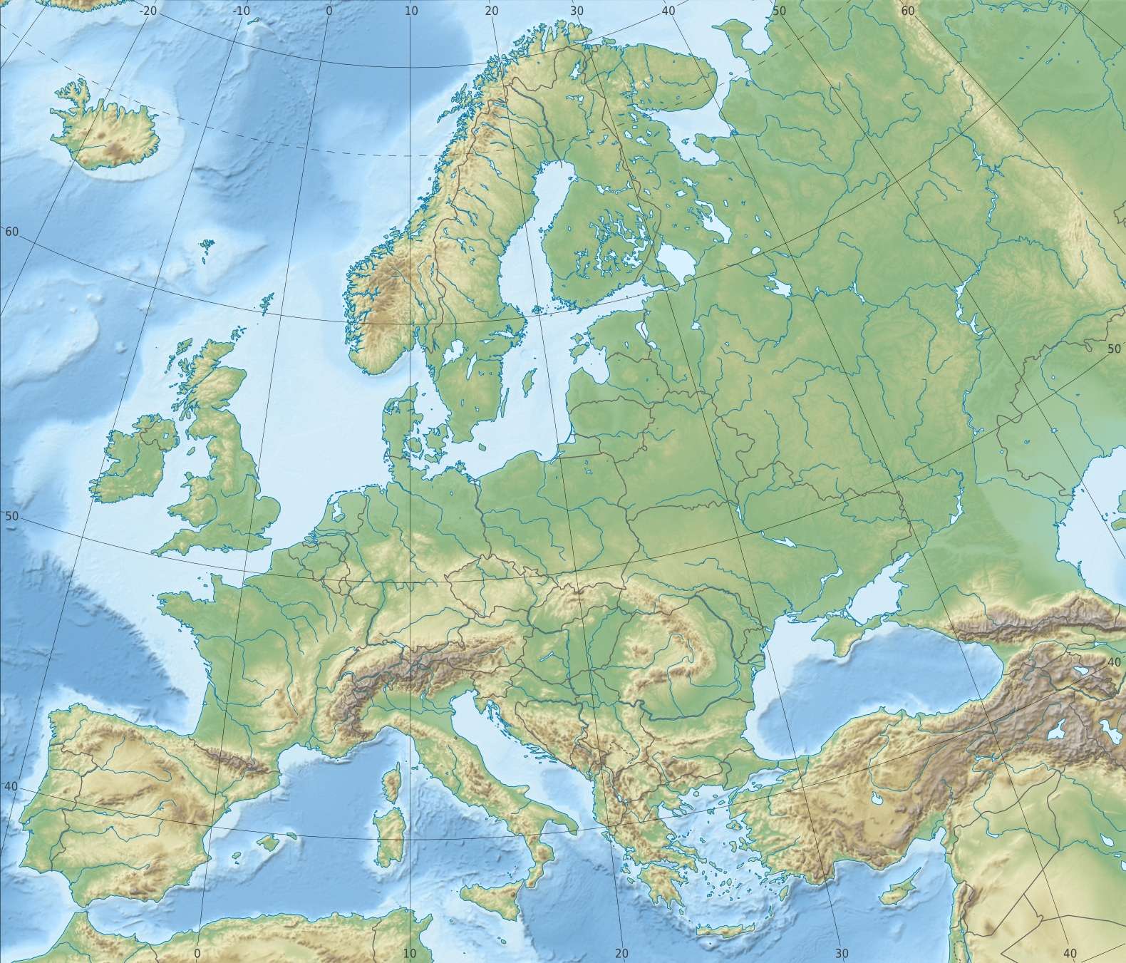
| Location | Prokletije Kosovo, Southern Europe |
| Coordinates | 42°31′49″N 20°7′14″E |
| Max. length | 150 m (490 ft) |
| Max. width | 120 m (390 ft) |
See also

- Geography of Kosovo
- List of lakes in Kosovo
Notes
- Kosovo is the subject of a territorial dispute between the Republic of Kosovo and the Republic of Serbia. The Republic of Kosovo unilaterally declared independence on 17 February 2008, but Serbia continues to claim it as part of its own sovereign territory. The two governments began to normalise relations in 2013, as part of the 2013 Brussels Agreement. Kosovo is currently recognized as an independent state by 97 out of the 193 United Nations member states. In total, 112 UN member states recognized Kosovo at some point, of which 15 later withdrew their recognition.
References
- Max Bosse, Kathrin Steinweg (2006). Peaks of the Balkans. München: Bergverlag Rother. p. 126. ISBN 978-3-7633-4491-8.
This article is issued from Wikipedia. The text is licensed under Creative Commons - Attribution - Sharealike. Additional terms may apply for the media files.