Ytre Øksningan
Ytre Øksningan (Outer Øksningan)[1] is an island in the municipality of Herøy in Nordland county, Norway. Together with Indre Øksningan, it is part of the Øksningan archipelago. The island has an area of 2.1 square kilometers (0.81 sq mi) and a population of 58 (2016). It is connected to the rest of Herøy by Norwegian County Road 166.[2] The largest village on the island is Innerøya on the southeast shore of the island.
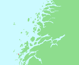 | |
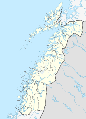 Ytre Øksningan Location of the island 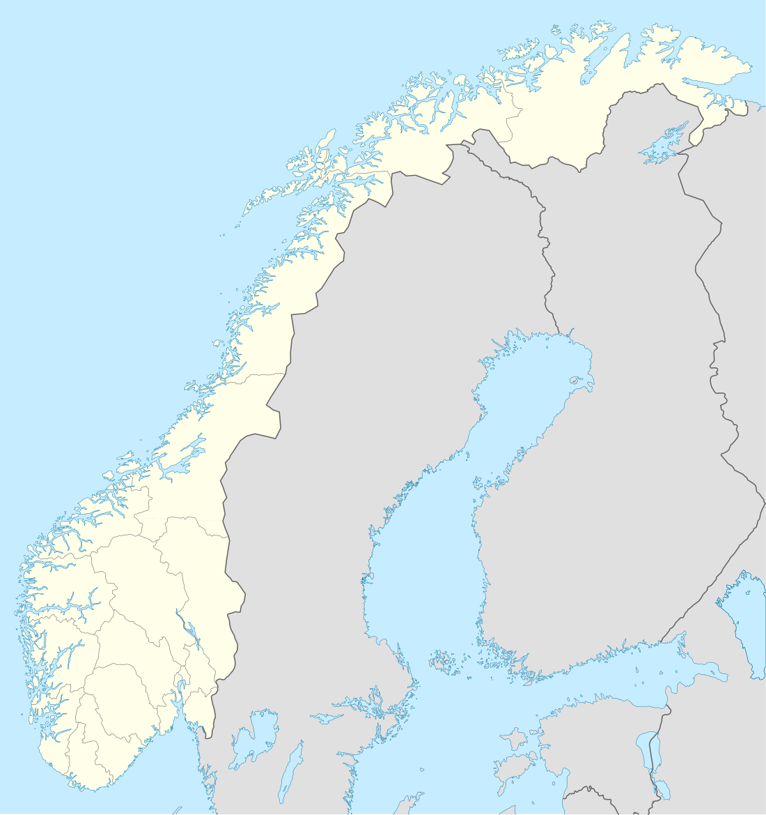 Ytre Øksningan Ytre Øksningan (Norway) | |
| Geography | |
|---|---|
| Location | Nordland, Norway |
| Coordinates | 66.0053°N 12.2282°E |
| Archipelago | Øksningan |
| Area | 2.1 km2 (0.81 sq mi) |
| Length | 2 km (1.2 mi) |
| Width | 1.8 km (1.12 mi) |
| Highest elevation | 98 m (322 ft) |
| Highest point | Stortuva |
| Administration | |
Norway | |
| County | Nordland |
| Municipality | Herøy Municipality |
| Demographics | |
| Population | 58 (2016) |
See also
References
- "About Herøy". Herøy-Helgeland. Retrieved October 18, 2017.
- Thorsnæs, Geir, ed. (2016-03-23). "Øksningan". Store norske leksikon (in Norwegian). Kunnskapsforlaget. Retrieved 2019-02-19.
This article is issued from Wikipedia. The text is licensed under Creative Commons - Attribution - Sharealike. Additional terms may apply for the media files.