Wolf Creek (Timiskaming District)
Wolf Creek is a creek in geographic Maisonville Township[1] in the Unorganized West Part of Timiskaming District in northeastern Ontario, Canada.[2] It is in the James Bay drainage basin and is a right tributary of the Whiteclay River.
| Wolf Creek | |
|---|---|
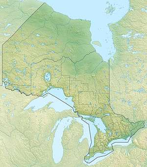 Location of the mouth of Wolf Creek in Ontario | |
| Location | |
| Country | Canada |
| Province | Ontario |
| Region | Northeastern Ontario |
| District | Timiskaming |
| Geographic township | Maisonville |
| Physical characteristics | |
| Source | Unnamed marsh |
| • coordinates | 48°13′26″N 80°10′02″W |
| • elevation | 319 m (1,047 ft) |
| Mouth | Whiteclay River |
• coordinates | 48°16′33″N 80°14′34″W |
• elevation | 310 m (1,020 ft) |
| Basin features | |
| River system | James Bay drainage basin |
The creek begins at an unnamed marsh and flows north through Highspot Lake, then northeast through Goose Egg Lake to Wolf Lake. It continues northeast, passes under the Ontario Northland Railway (ONR) line, and reaches its mouth at the Whiteclay River. The Whiteclay River flows via the Black River, the Abitibi River and the Moose River to James Bay.
The creek travels through no communities; the nearest is Bourkes, 2.1 kilometres (1.3 mi) northeast of the mouth of the creek.
References
- "Maisonville" (PDF). Geology Ontario - Historic Claim Maps. Ontario Ministry of Northern Development, Mines and Forestry. Retrieved 2016-12-31.
- "Wolf Creek". Geographical Names Data Base. Natural Resources Canada. Retrieved 2016-12-31.
Other map sources:
- Map 12 (PDF) (Map). 1 : 1,600,000. Official road map of Ontario. Ministry of Transportation of Ontario. 2015-01-01. Retrieved 2016-12-31.
- Restructured municipalities - Ontario map #3 (Map). Restructuring Maps of Ontario. Ontario Ministry of Municipal Affairs and Housing. 2006. Retrieved 2016-12-31.
This article is issued from Wikipedia. The text is licensed under Creative Commons - Attribution - Sharealike. Additional terms may apply for the media files.