Whitefish River (Manitoba)
The Whitefish River is a river in Census Division 21 in the Northern Region of Manitoba, Canada. It is in the Hudson Bay and Nelson River drainage basins and is a left tributary of the Saskatchewan River.
| Whitefish River | |
|---|---|
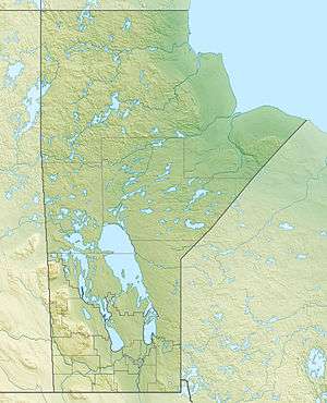 Location of the mouth of the Whitefish River in Manitoba. | |
| Location | |
| Country | Canada |
| Province | Manitoba |
| Region | Northern Region |
| Census Division | No. 21 |
| Physical characteristics | |
| Source | Rocky Lake |
| • coordinates | 54°04′45″N 101°33′18″W |
| • elevation | 260 m (850 ft) |
| Mouth | Saskatchewan River |
• coordinates | 53°51′00″N 101°23′02″W |
• elevation | 256 m (840 ft) |
| Length | 43 km (27 mi) |
Course
The river begins at Rocky Lake and heads east to Root Lake. It then turns south, passes through Reader Lake, and reaches its mouth at the Saskatchewan River, just upstream of the community of Big Eddy Settlement and 8 kilometres (5 mi) west of The Pas, Manitoba.
Tributaries
- Red Rock Creek (left)
- Dinner Place Creek (right)
- Rocky Lake
- Maria Creek
gollark: Apparently² it was also at one point a sensible alternative to WiFi.
gollark: Apparently DECT is very overengineered, and was meant to work for large-scale mobile networks and such.
gollark: I think you can do that.
gollark: If you could only get correct values from measuring actual circles nobody would get anything done.
gollark: No you don't. If you do the expansion at 0 the derivatives are just 0, 1, 0, -1 or something like that (repeatedly) so there's a nice infinite series.
See also
References
- "Whitefish River". Geographical Names Data Base. Natural Resources Canada. Retrieved 2010-08-19.
- "Topographic Map sheets 63F1, 63K3, 63K4". Atlas of Canada. Natural Resources Canada. 2010-02-04. Retrieved 2010-08-19.
This article is issued from Wikipedia. The text is licensed under Creative Commons - Attribution - Sharealike. Additional terms may apply for the media files.