Wharite Peak
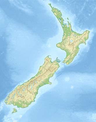
Wharite Peak is a mountain at the southern end of the Ruahine Range, 9 km (5.6 mi) north of Woodville in the Manawatū-Whanganui region of New Zealand. The mountain is home to the main television transmitter for the city of Palmerston North and the wider Manawatu region.
| Wharite Peak | |
|---|---|
 Wharite Peak Manawatū-Whanganui, New Zealand | |
| Highest point | |
| Elevation | 920 m (3,020 ft) |
| Coordinates | 40°15′17″S 175°51′30″E |
| Geography | |
| Location | Manawatū-Whanganui, New Zealand |
| Parent range | Ruahine Range |
Transmitter
A 1 kW television transmitter was established atop Wharite in 1963, relaying WNTV1 from Wellington. It was replaced with a 100 kW transmitter in 1966.[1]
| Television Station | Transmit Channel | Transmit Frequency | Band | Power (dBW) |
|---|---|---|---|---|
| Kordia digital B | 26 | 514.0 MHz | UHF | |
| World TV digital | 28 | 530.0 MHz | UHF | |
| Sky digital | 30 | 546.0 MHz | UHF | |
| MediaWorks digital | 32 | 562.0 MHz | UHF | |
| TVNZ digital | 34 | 578.0 MHz | UHF | |
| Kordia digital A | 36 | 594.0 MHz | UHF | |
| Māori Television digital | 38 | 610.0 MHz | UHF | |
| Radio Station | Transmit Channel | Transmit Frequency | Band | Power (dBW) |
| Radio New Zealand Concert | 89.0 MHz | VHF | ||
| Kia Ora FM | 89.8 MHz | VHF | ||
| ZM | 90.6 MHz | VHF | ' | |
| Radio Rhema | 91.4 MHz | VHF | ||
| More FM | 92.2 MHz | VHF | ||
| The Edge | 93.0 MHz | VHF | ||
| Magic Talk | 93.8 MHz | VHF | ||
| The Sound | 94.6 MHz | VHF | ||
| The Rock | 95.4 MHz | VHF | ||
| Mai FM | 97.0 MHz | VHF | ||
| The Hits | 97.8 MHz | VHF | ||
| The Breeze | 98.6 MHz | VHF | ||
| Newstalk ZB | 100.2 MHz | VHF | ||
| Radio New Zealand National | 101.0 MHz | VHF | ||
| Niu FM | 103.4 MHz | VHF | ||
| Magic Music | 104.2 MHz | VHF | ||
| Coast | 105.8 MHz | VHF |
gollark: As planed.
gollark: That is obviously wrong.
gollark: If 50% is the right answer, then you only have a 25% chance, actually.
gollark: It's a multiple-choice question, silly.
gollark: That sure is* an image of me.
References
- "Parliamentary Debates (Hansard)". 351. New Zealand Parliament. 28 June 1967: 1394. Cite journal requires
|journal=(help) - "Search Licences". www.rsm.govt.nz.
This article is issued from Wikipedia. The text is licensed under Creative Commons - Attribution - Sharealike. Additional terms may apply for the media files.