West Virginia's congressional districts
The U.S. state of West Virginia currently has three congressional districts, each represented by a member of the United States House of Representatives.
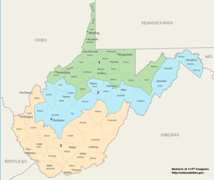
Current districts and representatives
List of members of the West Virginian United States House delegation, district boundaries, and the district political ratings according to the CPVI. The delegation has a total of 3 members, all of whom are Republicans.
| District | Representative | Party | CPVI | Incumbent time in office | District map |
|---|---|---|---|---|---|
| 1st |  |
Republican | R+19 | January 3, 2011 – present | .tif.png) |
| 2nd |  |
Republican | R+17 | January 3, 2015 – present | .tif.png) |
| 3rd | 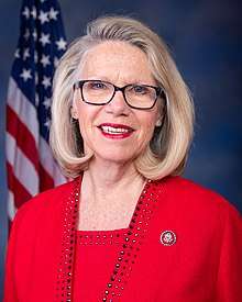 |
Republican | R+23 | January 3, 2019 – present | .tif.png) |
Historical and present district boundaries
Table of United States congressional district boundary maps in the State of West Virginia, presented chronologically.[2] All redistricting events that took place in West Virginia between 1973 and 2013 are shown.
| Year | Statewide map |
|---|---|
| 1973–1982 | 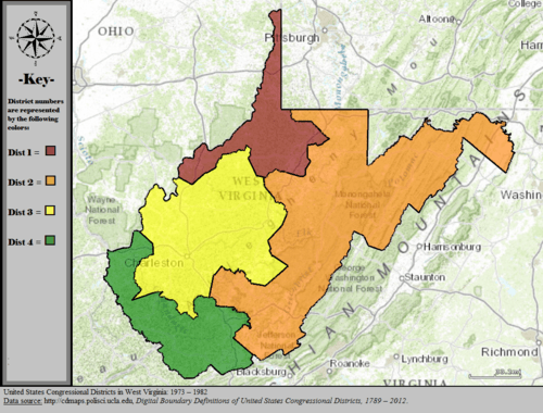 |
| 1983–1992 | 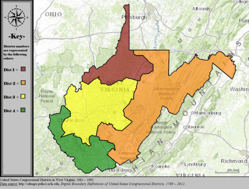 |
| 1993–2002 | 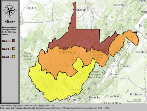 |
| 2003–2013 | 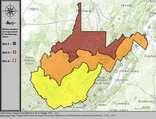 |
| Since 2013 | 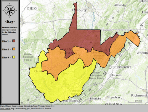 |
Obsolete districts
Fourth district
See main article at West Virginia's 4th congressional district
The 4th district was eliminated by the 1990 United States Census.
Fifth district
See main article at West Virginia's 5th congressional district
The 5th district was eliminated by the 1970 United States Census.
Sixth district
See main article at West Virginia's 6th congressional district
The 6th district was eliminated by the 1960 United States Census.
At-large district
West Virginia's at-large congressional district existed between 1913 and 1917, but it is now obsolete.
References
- "The national atlas". nationalatlas.gov. Retrieved February 22, 2014.
- "Digital Boundary Definitions of United States Congressional Districts, 1789–2012". Retrieved October 18, 2014.
