Watch Hill Castle
Watch Hill Castle (also known as Yarwood Castle, Castle Hill, and Bowdon Watch) is an early medieval motte-and-bailey on the border of Bowdon and Dunham Massey, England. It is a Scheduled Ancient Monument.[1] As the only Scheduled Ancient Monument in Trafford, it is arguably the most important archaeological site in the borough.[2] The castle is located north of the River Bollin and south of a deep ravine (grid reference SJ74798598).[2]
| Watch Hill Castle | |
|---|---|
 | |
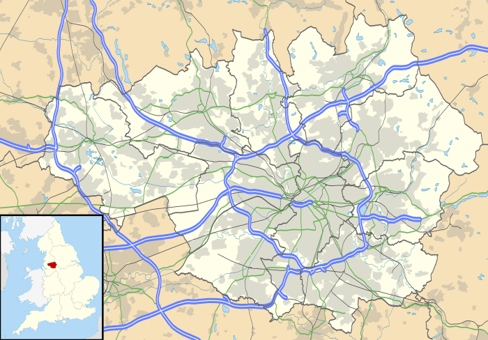 Location within Greater Manchester | |
| General information | |
| Architectural style | Motte-and-bailey castle |
| Town or city | Bowdon, Greater Manchester |
| Country | England |
| Coordinates | 53.369862°N 2.378858°W |
| Completed | Probably 12th century |
| Client | Hamon de Massey |
| Technical details | |
| Size | 0.3657 hectares (0.904 acres) |
History
Substantial dating evidence has not been recovered from the site, but the form of the castle as a timber motte-and-bailey would date it to between the Norman Conquest and the 13th century.[3] The lack of documentary evidence relating to the castle may be attributed to the short term nature of the timber construction; motte-and-baileys were quick to establish and would not necessarily have been used for long periods.[3] A coin found on the site dating to the reign of Henry II, 1154 to 1189, may indicate that the castle was built during this period.[3] The castle most likely belonged to Hamo de Mascy who was involved with the barons' rebellion against Henry II in 1173. The castle had fallen out of use by the 13th century.[3]
Layout
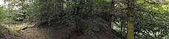
What remains of the motte is conical, measuring 40 metres (130 ft) wide at the base and 17 metres (56 ft) at the top, 6 metres (20 ft) above the base.[2] The motte is surrounded by a 5 metres (16 ft) wide and 3 metres (9.8 ft) deep ditch.[4] The bailey covered a triangular area of approximately 2,400 square metres (0.59 acres) and lay to the east of the motte. It would have been defended by an earthen bank and a palisade; some of the rampart remains as high as 0.3 metres (0.98 ft) in some places.[2] The north side of the bailey was doubly protected by the terrain sloping away steeply, and the south side was protected by the river.[2]
See also
- Castles in Greater Manchester
- Scheduled Monuments in Greater Manchester
References
- Historic England, "Watch Hill motte and bailey castle, 450m south of Streethead Farm (1014377)", National Heritage List for England, retrieved 1 December 2012
- Redhead (1997), p. 34.
- Redhead (1997), p. 35.
- "Watch Hill Castle". Pastscape.org.uk. Retrieved 12 March 2008.
- Bibliography
- Watch Hill Castle by Norman Redhead in Mike Nevell (1997). The Archaeology of Trafford. Trafford Metropolitan Borough with University of Manchester Archaeological Unit. pp. 34–35. ISBN 1-870695-25-9.
External links
- Gatehouse Gazetteer record for Watch Hill Castle, containing a comprehensive bibliography