Waitoa
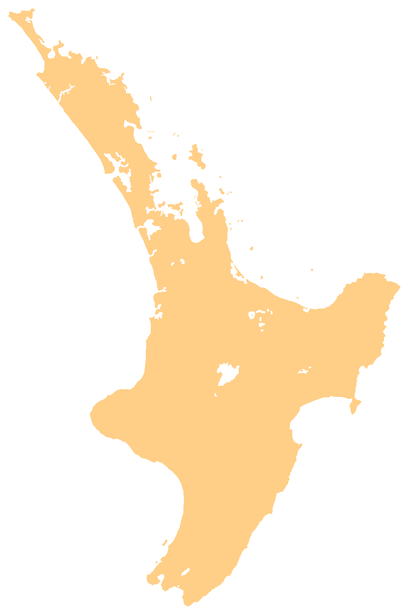
Waitoa is a settlement in the Matamata-Piako District of New Zealand. State Highway 26 runs through the town, and connects to Te Aroha 10 km to the north-east.
Waitoa | |
|---|---|
 Waitoa | |
| Coordinates: 37.601°S 175.628°E | |
| Country | New Zealand |
| Region | Waikato Region |
| District | Matamata-Piako District |
| Population (2013) | |
| • Total | 306 |
Waitoa had a population of 306 at the 2013 New Zealand census, a decrease of 12 people since the 2006 census. There were 168 males and 138 females.[1] 87.9% were European/Pākehā, 19.2% were Māori, 4.0% were Pacific peoples and 3.0% were Asian.[2]
A Fonterra dairy factory is a prominent blue building in the middle of the town.[3] Waitoa has a primary school with around 30-50 children. The Waitoa River runs through the village and is prone to flooding.
A railway line runs to the dairy factory, and used to go to Te Aroha, however this section was closed and the line only runs to service the dairy factory.
Two freezing works and a rendering plant also operate in the Waitoa area. Workers commute from nearby towns of Te Aroha, Morrinsville and Matamata.
References
- 2013 Census QuickStats about a place : Waitoa
- 2013 Census QuickStats about a place (Cultural diversity) : Waitoa
- Kissun, Sudesh. "Fonterra cuts cheese plant". Rural News. Retrieved 31 July 2010.