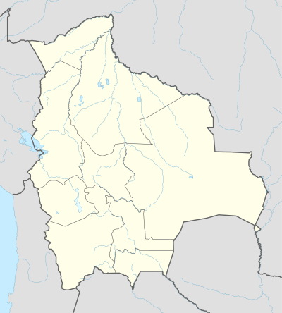
Villa Orias
Villa Orias[1] (Tarvita[2]) is a town and administrative centre in Tarvita Municipality, Azurduy Province, Chuquisaca Department of Bolivia. It is in the Cordillera Oriental of the Andes, where the Puca Mayu River and the Cruz Mayu River meet to form the Tarvita River.[3]
Villa Orias Tarvita, Taravita | |
|---|---|
Town | |
 Villa Orias Location of Villa Orias in Bolivia | |
| Coordinates: 19°55′12″S 64°28′56″W | |
| Country | Bolivia |
| Department | Chuquisaca Department |
| Province | Azurduy Province |
| Municipality | Tarvita Municipality |
| Canton | Tarvita Canton |
| Population | |
| • Ethnicities | Quechua |
| Time zone | UTC-4 (BST) |
Notes
- Villa Orías (Approved) at GEOnet Names Server, United States National Geospatial-Intelligence Agency
- Tarvita (Variant) at GEOnet Names Server, United States National Geospatial-Intelligence Agency
- "Atlas Municipal: Tarvita" (PDF). Instituto Nacional de Estadística de Bolivia. Archived (PDF) from the original on 5 February 2014.
gollark: andrew: [REDÄCTED]
gollark: Python!
gollark: 2791.
gollark: Anyway, PotatOS Advanced Projects™ actually does quite a lot of stuff. There's also GTech's Antimemetics Division, which works on it a fair bit (primarily the Microsoft-branded edition, as part of our partnership with Microsoft/Vartax), PotatOS Cloud-Scale Blockchain/AI Quantum Agile Disruptive Engineering (web APIs), PotatOS Paralegalistics (works on stuff like the privacy policy and SCP-2791), [LEVEL 5 CLEARANCE REQUIRED] (Project TANTALUM IGUANA), PotatOS ⬡, and many other teams working on potatOS.
gollark: Learn to.
This article is issued from Wikipedia. The text is licensed under Creative Commons - Attribution - Sharealike. Additional terms may apply for the media files.