Utah State Route 275
State Route 275 is a state highway located entirely within central San Juan County, Utah on the northwestern limits of Cedar Mesa. The highway provides access to the Bears Ears and Natural Bridges National Monument.
| ||||
|---|---|---|---|---|
| Route information | ||||
| Defined by Utah Code §72-4-133 | ||||
| Maintained by UDOT | ||||
| Length | 3.818 mi[1] (6.144 km) | |||
| Existed | 1975–present | |||
| Major junctions | ||||
| South end | ||||
| North end | Natural Bridges National Monument | |||
| Highway system | ||||
| ||||

Route description
It runs approximately 4 miles (6.4 km) northwest, from the junction of SR-95 (which is two-miles (3 km) west of the SR-95 and SR-261 junction), to the east entrance of Natural Bridges National Monument. The route forms part of the Trail of the Ancients National Scenic Byway.
History
SR-275 was designated by the state legislature in 1975[2] along a road that had been built in the 1960s.[3][4]
Major intersections
| County | Location | mi[1] | km | Destinations | Notes |
|---|---|---|---|---|---|
| San Juan | | 0.000 | 0.000 | Southern terminus | |
| 3.818 | 6.144 | Natural Bridges National Monument | Northern terminus | ||
| 1.000 mi = 1.609 km; 1.000 km = 0.621 mi | |||||
gollark: I do not like it much, myself.
gollark: I forgot the exact details.
gollark: You can group the channels somehow.
gollark: Oh dear.
gollark: I think there used to be.
References
- "Highway Reference - SR-275". Utah Department of Transportation. Retrieved 2008-06-23.
- Utah Department of Transportation, State Route History, accessed July 2007 Archived February 25, 2007, at the Wayback Machine
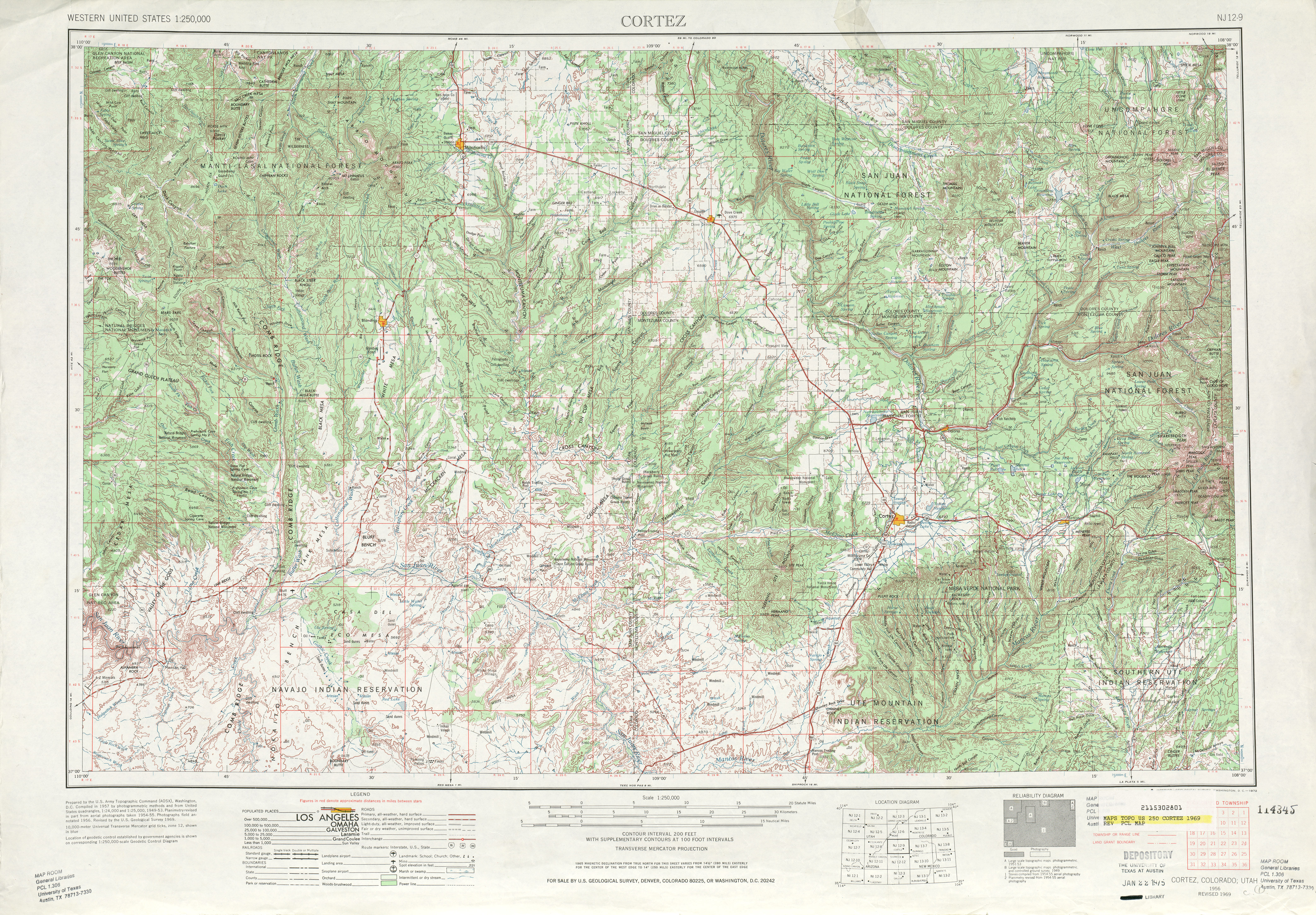
- United States Geological Survey, Cortez (scale 1:250,000), 1961
- United States Geological Survey, Cortez (scale 1:250,000), 1969
This article is issued from Wikipedia. The text is licensed under Creative Commons - Attribution - Sharealike. Additional terms may apply for the media files.