Ukiam
Ukiam is a village in Kamrup rural district, situated on the south bank of the Brahmaputra river.[1] It is in the Assam Meghalaya border. The place is also famous for picnic goers and sightseeing as the beautiful Kulsi river passes through the place and also two other rivers joins the Kulsi here.
Ukiam | |
|---|---|
Village | |
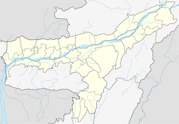
 Ukiam Location in Assam, India  Ukiam Ukiam (India) | |
| Coordinates: 25.81°N 91.32°E | |
| Country | |
| State | Assam |
| Region | Western Assam |
| District | Kamrup |
| Government | |
| • Body | Gram panchayat |
| Languages | |
| • Official | Assamese |
| Other Languages | |
| • Local | Garo | Rabha |
| Time zone | UTC+5:30 (IST) |
| PIN | 781124 |
| ISO 3166 code | IN-AS |
| Vehicle registration | AS |
| Website | kamrup |
Transport
The village is near National Highway 37 and connected to nearby towns and cities with regular buses and other modes of transportation. The nearest city to Ukiam is Chhaygaon which is about 28 km away. The road has been newly constructed in 2014 and is in good condition.
gollark: A function transforming Either a VulkanException or some `a` into `r` (which I assume is the `r`esult).
gollark: That's IO. *True* Haskellers would never touch such an evil concept.
gollark: And *has to*!
gollark: Amazingly enough, lots of code *has side effects*!
gollark: ```haskellq :: ((a0 b0 c0 -> m0 c1) -> (a0 b0 c0 -> (a0 b'0 c'0 -> a0 (b0, b'0) (c0, c'0)) -> m0 c1) -> m0 c1) -> (a0 b0 c0 -> m0 (a0 b0 c0 -> (a0 b'0 c'0 -> a0 (b0, b'0) (c0, c'0)) -> m0 c1)) -> (a0 b0 c0 -> (a0 b'0 c'0 -> a0 (b0, b'0) (c0, c'0)) -> m0 c1) -> m0 c1)q = (>>=) (<*> (***)) >>= (>>>) <$> (($) . (<=<))```
See also
References
- "Ukiam". pincode.org.in. Retrieved 29 April 2015.
This article is issued from Wikipedia. The text is licensed under Creative Commons - Attribution - Sharealike. Additional terms may apply for the media files.