Troughton Island
Troughton Island is an island located off the Kimberley coast of Western Australia. Troughton Island is used as a helicopter base for the Timor Sea oil rigs approximately 500 km west of Darwin.
| Troughton Island Western Australia | |||||||||
|---|---|---|---|---|---|---|---|---|---|
 Troughton Island | |||||||||
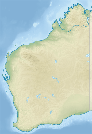
| Coordinates | 13°45′S 126°08′E | ||||||||
| Population | 2 | ||||||||
| • Density | 2.2/km2 (5.6/sq mi) | ||||||||
| Elevation | 27 m (89 ft) | ||||||||
| Area | 0.93 km2 (0.4 sq mi) | ||||||||
| Time zone | AWST (UTC+8) | ||||||||
| Location | 19 km (12 mi) W of Shire of Wyndham-East Kimberley | ||||||||
| State electorate(s) | Kimberley | ||||||||
| Federal Division(s) | Durack | ||||||||
| |||||||||
History
The island was found and named in 1819 by Phillip Parker King. The Sir Graham Moore Islands Airline company ShoreAir Pty Ltd has opened and operated an airport on the island since the 1960s.[1] It has had weather records due to its location.[2] It is a reference point for hydrographic surveys.[3]
gollark: Oh cool, the new test suite uses my "great" C wrapper.
gollark: It doesn't seem like ubq will make the container contain multiple submissions at once.
gollark: Or brute-force all possible permutations and see if the other string is one of them (case/space-insensitive).
gollark: Oh, or work out the minimal sequence of transpositions to give you the other string and see if it, well, exists or not?
gollark: Maybe throw in some linear algebra somehow to accurse it.
References
- "LIFE ON A TROPICAL ISLAND". The Australian Women's Weekly. 13 December 1967. p. 85. Retrieved 16 January 2016 – via National Library of Australia.
- http://pandora.nla.gov.au/pan/44065/20050819-0000/www.bom.gov.au/climate/dwo/200409/html/IDCJDW6125.200409.html
- Australia. Royal Australian Navy. Hydrographic Service (1969), Lesueur Island to Troughton Island, Australia – north-west coast, Western Australia (Provisional [ed.] ed.), Australian Hydrographic Service, retrieved 16 January 2016
This article is issued from Wikipedia. The text is licensed under Creative Commons - Attribution - Sharealike. Additional terms may apply for the media files.