Trona Airport
Trona Airport (IATA: TRH[2], FAA LID: L72) is a public airport five miles north of Trona, in Inyo County, California. It is owned by the United States Department of the Interior, Bureau of Land Management.[1] The National Plan of Integrated Airport Systems for 2011–2015 categorized it as a general aviation facility.[3]
Trona Airport | |||||||||||
|---|---|---|---|---|---|---|---|---|---|---|---|
 | |||||||||||
| Summary | |||||||||||
| Airport type | Public | ||||||||||
| Owner | US Department of the Interior, Bureau of Land Management | ||||||||||
| Serves | Trona, California | ||||||||||
| Elevation AMSL | 1,718 ft / 524 m | ||||||||||
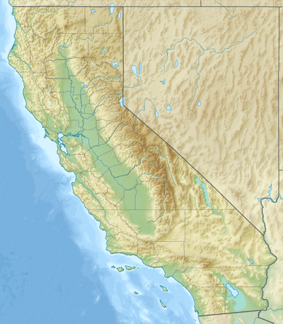
| Coordinates | 35°48′46″N 117°19′37″W | ||||||||||
| Map | |||||||||||
 L72 | |||||||||||
| Runways | |||||||||||
| |||||||||||
| Helipads | |||||||||||
| |||||||||||
| Statistics (2012) | |||||||||||
| |||||||||||
Most U.S. airports use the same three-letter location identifier for the FAA and IATA, but this airport is L72 to the FAA[1] and has IATA code TRH.[4]
History
During World War II it was an outlying airstrip supporting the U.S. Marine Corps Auxiliary Air Station Mojave located near Mojave, California.
In 1976-78 Golden West Airlines scheduled de Havilland Canada DHC-6 Twin Otters direct to Los Angeles (LAX).[5]
The musical group "The Corrs" shot their YouTube music video "Breathless" at Trona Airport, May 17-19th, 2000, which hit #7 on Billboard charts in 2000.
Facilities
Trona Airport covers 150 acres (61 ha) at an elevation of 1,718 feet (524 m). Its one runway, 17/35, is 5,910 by 60 feet (1,801 x 18 m). It has one helipad, H1, 52 by 52 feet (16 x 16 m).[1]
In the year ending April 9, 2012 the airport had 7,000 general aviation aircraft operations, average 19 per day. Two ultralight aircraft were then based at this airport.[1]
References
- FAA Airport Master Record for L72 (Form 5010 PDF). Federal Aviation Administration. Effective November 15, 2012.
- "IATA Airport Code Search (TRH: Trona)". International Air Transport Association. Retrieved June 13, 2014.
-
"2011–2015 NPIAS Report, Appendix A" (PDF, 2.03 MB). National Plan of Integrated Airport Systems. Federal Aviation Administration. October 4, 2010. External link in
|work=(help) - "TRH - Trona, California - Trona Airport". Great Circle Mapper. Retrieved August 30, 2009.
- http://www.departedflights.com, 1977 Golden West route map
External links
- WW2 Military Airfields including Auxiliaries and Support fields: Alabama - California
- Aerial photo as of May 1994 from USGS The National Map
- Resources for this airport:
- FAA airport information for L72
- AirNav airport information for L72
- FlightAware airport information and live flight tracker
- SkyVector aeronautical chart for L72