Tretya Karta
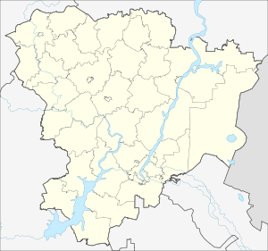
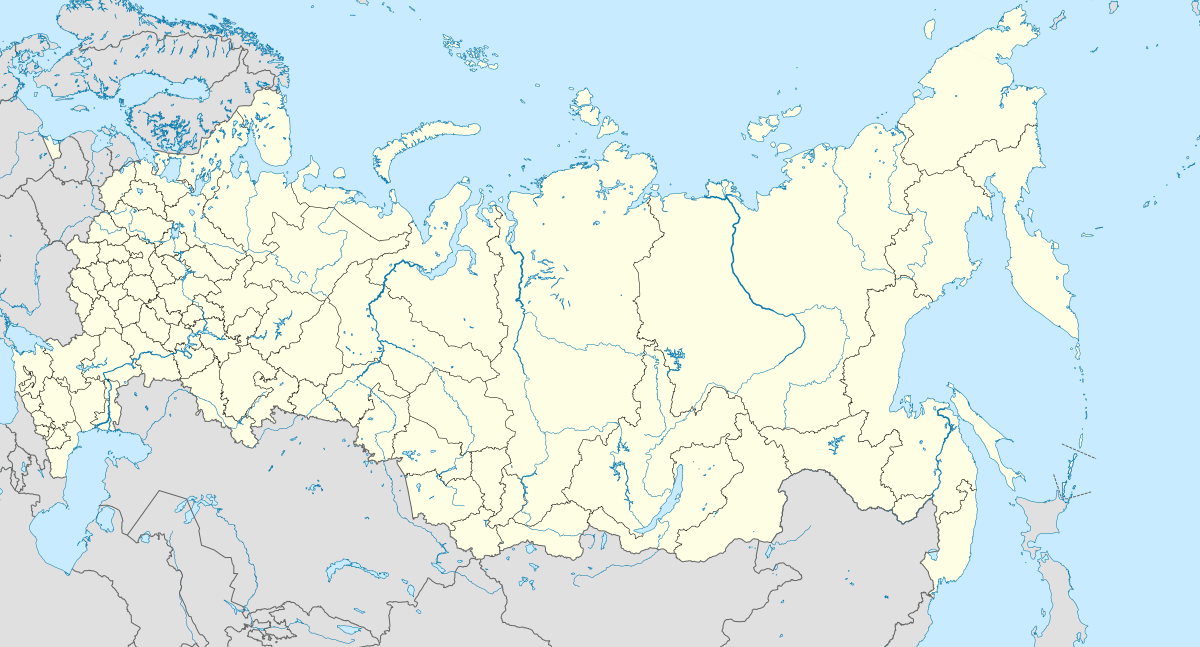
Tretya Karta (Russian: Третья Карта) is a rural locality (a settlement) in Kirovskoye Rural Settlement, Sredneakhtubinsky District, Volgograd Oblast, Russia. The population was 483 as of 2010.[2] There are 13 streets.
Tretya Karta Третья Карта | |
|---|---|
Settlement | |
 Tretya Karta  Tretya Karta | |
| Coordinates: 48°45′N 44°42′E[1] | |
| Country | Russia |
| Region | Volgograd Oblast |
| District | Sredneakhtubinsky District |
| Time zone | UTC+4:00 |
Geography
The village is located near the Pakhotny Erik.
gollark: Discord's permissions model is so very weird.
gollark: Idea: hide "administrator" in one of the color roles and see how long it is until someone notices.
gollark: Apparently I don't have the power to edit *my* roles, or anyone else's, it must be one of the weird roles providing that.
gollark: Actively punishing and imprisoning people for being in a bad situation they can't really leave easily is among the stupider things to do, yes.
gollark: I don't really like how the default seems to be "no, you cannot have the thing" in many people's minds.
References
- Карта Среднеахтубинского района Волгоградской области
- Всероссийская перепись населения 2010 года. Численность населения городских округов, муниципальных районов, городских и сельских поселений, городских и сельских населённых пунктов Волгоградской области
This article is issued from Wikipedia. The text is licensed under Creative Commons - Attribution - Sharealike. Additional terms may apply for the media files.