Tomarata
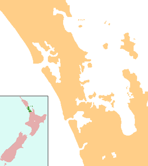
Tomarata is a locality in the Auckland Region of New Zealand. Wellsford lies to the south-west, Te Arai to the north, and Pakiri to the south-east.[1][2] Tomarata Lake is nearby and is popular for boating, water skiing, kayaking and swimming.
Tomarata | |
|---|---|
 Tomarata | |
| Coordinates: 36°13′54″S 174°37′57″E | |
| Country | New Zealand |
| Region | Auckland Region |
| Local Board | Rodney Local Board |
Education
Tomarata School is a coeducational full primary (years 1-8) school with a roll of 119 students as of March 2020.[3][4]
Notes
- Peter Dowling (editor) (2004). Reed New Zealand Atlas. Reed Books. pp. map 11. ISBN 0-7900-0952-8.CS1 maint: extra text: authors list (link)
- Roger Smith, GeographX (2005). The Geographic Atlas of New Zealand. Robbie Burton. pp. map 31. ISBN 1-877333-20-4.
- "New Zealand Schools Directory". New Zealand Ministry of Education. Retrieved 26 April 2020.
- Education Counts: Tomarata School
gollark: !q give 10 iron_ore me
gollark: !roll d3
gollark: !q give 10 iron_ore me
gollark: !roll d3
gollark: !q l SoundOfSpouting
This article is issued from Wikipedia. The text is licensed under Creative Commons - Attribution - Sharealike. Additional terms may apply for the media files.