Thomassin
Thomassin is a neighborhood on the mountainside south of Pétion-Ville, Haiti.[3] Many upper-class citizens reside in the area.[4][5]
Thomassin | |
|---|---|
Neighborhood | |
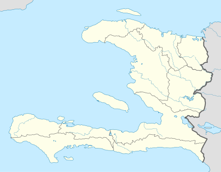 Thomassin Location in Haiti[1] | |
| Coordinates: 18°29′18″N 72°18′43.4″W | |
| Country | |
| Department | Ouest |
| Arrondissement | Port-au-Prince |
| Elevation | 944[2] m (3,097.11 ft) |
Geography
Climate
Climate is tropical with some variation depending on altitude. The average high temperature in Thomassin is 20.3 °C (68.54 °F). August being the warmest month with an average of 21.9 °C (71.42 °F). January has the lowest temperature of any month throughout the year, with an average low of 71.3 °C (64.94 °F).[6]
The annual average rainfall 1755 mm (69.09 in). With an average precipitation of 27 mm (1.06 in) in January, it is the driest month of the year. May sees the most precipitation with an annual average of 255 mm (10.04 in).[6]
gollark: I don't think any of the actual models say it's that bad.
gollark: Those aren't really being built either in most places.
gollark: It isn't like stuff is quite that doomed.
gollark: Less though.
gollark: How is more abundant fuel not a significant advantage?
See also
References
- "National Geospatial-Intelligence Agency". GeoNames Search. Retrieved 1 September 2014.
- Calais, Eric, ed. (19 January 2003), Haiti - GPS site descriptions (PDF), Purdue University – Earth and Atmospheric Science Department, p. 3, retrieved 5 April 2016
- Haiti-Référence: 7410.- Codes postaux en Haiti
- OSAC: Haiti 2012
- PostCodeBase - Thomassin, Pétion-Ville, Port-au-Prince, Ouest: HT 6142
- Climatedata.org (Köppen-Geiger climate classification) - Climate: Thomassin
This article is issued from Wikipedia. The text is licensed under Creative Commons - Attribution - Sharealike. Additional terms may apply for the media files.