The West Temple
The West Temple is a prominent 7,810 feet (2,380 m) summit made of Navajo Sandstone in Zion National Park in Washington County of Utah, United States. The feature was originally called Steamboat Mountain before 1934 when the USGS officially changed it to its present name.[2] The West Temple is situated two miles northwest of Springdale, Utah and two miles west of the park headquarters. It is one of the notable landmarks in the park. The nearest higher peak is Windy Peak, 10.46 miles (16.83 km) to the north.[1] Precipitation runoff from the mountain drains into tributaries of the Virgin River.
| The West Temple | |
|---|---|
.jpg) The West Temple | |
| Highest point | |
| Elevation | 7,810 ft (2,380 m) [1] |
| Prominence | 1,680 ft (510 m) [1] |
| Coordinates | 37°12′39″N 113°01′15″W [1] |
| Geography | |
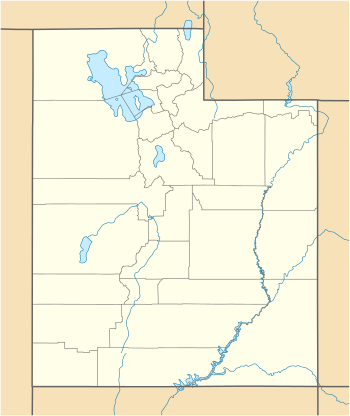 The West Temple Location in Utah  The West Temple The West Temple (the United States) | |
| Location | Zion National Park Washington County, Utah United States |
| Parent range | Colorado Plateau |
| Topo map | USGS Springdale West |
| Geology | |
| Type of rock | Navajo sandstone |
| Climbing | |
| Easiest route | Climbing class 5.6 |
Climbing Routes
_with_the_Towers_of_the_Virgin.jpg)
Climbing Routes on The West Temple[3]
- Back Where It All Begins - class 5.11a - 16 pitches
- Big Lebowski- class 5.11a/b - 21 pitches
- Lovelace - class 5.10 - 9 pitches
- Southwest Ridge - class 5.6 - 10 pitches
- Big Lie - class 5.10+ - 2 pitches
gollark: Go `const filesRoot = path.join(__dirname, "../dist")` yourself.
gollark: LyricLy is just kelp.
gollark: It says "unlocked", not "open".
gollark: Don't be kelp, LyricLy.
gollark: (<@332271551481118732> did it, I shoved it into potatOS)
References
- "The West Temple, Utah". Peakbagger.com.
- U.S. Geological Survey Geographic Names Information System: The West Temple
- The West Temple Mountain Project
This article is issued from Wikipedia. The text is licensed under Creative Commons - Attribution - Sharealike. Additional terms may apply for the media files.