Tguma
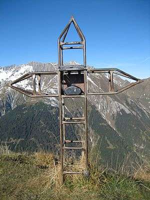
The Tguma is a mountain of the Swiss Lepontine Alps, situated west of Thusis in the canton of Graubünden. It lies on the range between the Safiental and the Domleschg.
| Tguma | |
|---|---|
 Summit | |
| Highest point | |
| Elevation | 2,163 m (7,096 ft) |
| Prominence | 164 m (538 ft) [1] |
| Parent peak | Lüschgrat |
| Isolation | 1.99 km (1.24 mi) |
| Coordinates | 46°43′07.6″N 9°21′21.6″E |
| Geography | |
 Tguma Location in Switzerland | |
| Location | Graubünden, Switzerland |
| Parent range | Lepontine Alps |
References
- Retrieved from the Swisstopo topographic maps. The key col is the Bischolpass (1,999 m).
This article is issued from Wikipedia. The text is licensed under Creative Commons - Attribution - Sharealike. Additional terms may apply for the media files.