Tetla
Tetla is a town in Raigarh district, Chhattisgarh, India.
Tetla | |
|---|---|
town | |
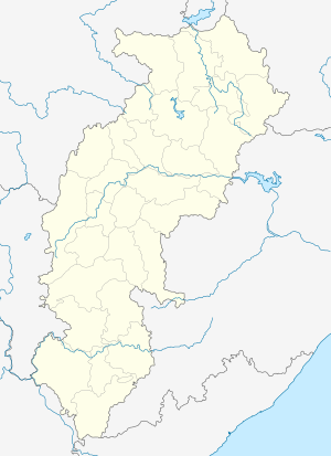 Tetla Location in Chhattisgarh, India  Tetla Tetla (India) | |
| Coordinates: 21°48′0″N 83°20′0″E | |
| Country | |
| State | Chhattisgarh |
| District | Raigarh |
| Elevation | 224 m (735 ft) |
| Languages | |
| • Official | Hindi, Chhattisgarhi |
| Time zone | UTC+5:30 (IST) |
| PIN | 496100 |
| Vehicle registration | CG |
Geography
It is located at an altitude of 224 m above MSL.[1]
Location
National Highway 200 passes through Tetla. It is about 12 km south of Raigarh. The nearest airport is Raipur Airport, and the nearest railway station is at Raigarh.
gollark: What could POSSIBLY go wrong with having the only usable web rendering engine be controlled by Google?
gollark: Although that *should* make it just pass it directly for 0, hm.
gollark: > * So: if the arg is a PyLong, use its absolute value.> * Otherwise use its hash value, cast to unsigned.
gollark: https://github.com/python/cpython/blob/fa2eee975dbf7d2728021ef9d97328bbe88351cf/Modules/_randommodule.c#L266
gollark: The `super().seed(a)` function it passes stuff onto may be doing things internally.
References
- http://www.fallingrain.com/world/IN/37/Tetla.html Map and weather of Tetla
This article is issued from Wikipedia. The text is licensed under Creative Commons - Attribution - Sharealike. Additional terms may apply for the media files.