Tentha
Tentha is a village in Thoubal District in Manipur, India.[1]
Tentha | |
|---|---|
Village | |
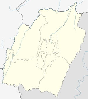
 Tentha Location in Manipur, India  Tentha Tentha (India) | |
| Coordinates: 24.58°N 93.98°E | |
| Country | |
| State | Manipur |
| District | Thoubal |
| Population (2001) | |
| • Total | 6,704 |
| Languages | |
| • Official | Meiteilon (Manipuri) |
| Time zone | UTC+5:30 (IST) |
| PIN | 795148 |
| Telephone code | 03848 |
| Vehicle registration | MN |
| Website | manipur |
About Tentha
It is one of the large village in Thobal district. It is surrounded by Wabgai in south-west, Ikop lake in north, Wangjing in east, and Khangabok in north-east.
Demographics
As of 2001 India census,[2] Tentha had a population of 6704. Males and females population are 3340 and 3364, respectively.
Localities in Tentha
Name of localities (leikai) in Tentha are:
- Tentha Thambal Chingya
- Tentha Khunjao Makha Leikai
- Tentha Mayai Leika
- Tentha Mathak Leikai
- Tentha Tuwabal
- Tentha Khongbal
- Tentha Heibung
- Tentha Khunou
- Tentha Marongband
Economy
Majority of the people in this village practice agriculture. Tentha is famous for the production of fish in Thoubal district.
Connectivity
There are 4 important inter-village roads which connect Tentha with other parts of the district, they are:
- Wangjing-Tentha road
- Tentha-Marongband road
- Khangabok/Wabagai-Tentha road and
- Kakching-Tentha road
Politics
Wangjing Tentha assembly constituency (Assembly Constituency No. 34) is part of Outer Manipur (Lok Sabha constituency).[3]
gollark: No.
gollark: Sadly, it is highly limited by holograms' refresh rate.
gollark: I made this cool holographic bouncy ball.
gollark: We have some countermeasures, but it's been observed using polymorphic bytecode generation, [DATA EXPUNGED] in Lua's string libraries, and in one case █████████ ██████ ██████ █████████ █████████, █████ █████ ██ ████ ████.
gollark: It is not installed randomly, but can ████████████ █████ ████████ ███████ using [REDACTED] previously unknown exploits.
See also
References
- "Tentha". 2011 Census of India. Government of India. Archived from the original on 14 September 2017. Retrieved 14 September 2017.
- "Census data". www.censusindia.gov.in.
- "Assembly Constituencies - Corresponding Districts and Parliamentary Constituencies" (PDF). Manipur. Election Commission of India.
This article is issued from Wikipedia. The text is licensed under Creative Commons - Attribution - Sharealike. Additional terms may apply for the media files.