Te Hāpua / Sutherland Sound
Te Hāpua / Sutherland Sound is a fiord of the South Island of New Zealand. It is the smallest of the fiords that make up the coast of Fiordland, and the only one with limited sea access (owing to a large sandbar at the entrance to its narrower section). It is the second most northerly of the fiords, 22 kilometres (14 miles) southwest of Milford Sound and eight kilometres (five miles) northeast of Hāwea / Bligh Sound. The fiord is ten kilometres (six miles) in length and the Light River and the Dark River flow into the eastern end.
| Te Hāpua / Sutherland Sound | |
|---|---|
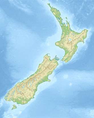 Te Hāpua / Sutherland Sound Location in New Zealand | |
| Location | Tasman Sea |
| Coordinates | 44.73°S 167.57°E |
| Native name | Te Hāpua |
| River sources | Light River, Dark River |
| Basin countries | New Zealand |
| Max. length | 10 km (6.2 mi) |
| Max. width | 1 km (0.62 mi) |
History and naming
The fiord was named Sutherland Sound after explorer Donald Sutherland[1] who visited the fiord in 1883. In October 2019, the name of the fiord was officially changed to Te Hāpua / Sutherland Sound.[2][3]
gollark: Because, you know, C.
gollark: I assumed they liked highly imperative programming.
gollark: That's where you write programs which work, instead of not working.
gollark: Functional programming, presumably.
gollark: And where'd EEWO go?
References
- Parham, W. T. "Sutherland, Donald". Dictionary of New Zealand Biography. Ministry for Culture and Heritage. Retrieved 5 August 2020.
- "More than 20 places receive dual English and Māori names from Land Information New Zealand". Radio New Zealand. 26 December 2019.
- "NZGB notices – October 2019". Land Information New Zealand. 17 October 2019. Retrieved 15 December 2019.
This article is issued from Wikipedia. The text is licensed under Creative Commons - Attribution - Sharealike. Additional terms may apply for the media files.