Tamku
Tamku is a village development committee in Sankhuwasabha District in the Kosi Zone of north-eastern Nepal. At the time of the 1991 Nepal census it had a population of 3044 people living in 588 individual households.[1]
Tamku ताम्कु | |
|---|---|
 Tamku Location in Nepal | |
| Coordinates: 27.58°N 87.06°E | |
| Country | |
| Zone | Kosi Zone |
| District | Sankhuwasabha District |
| Population (1991) | |
| • Total | 3,044 |
| Time zone | UTC+5:45 (Nepal Time) |
| Postal code | 56903 |
| Area code(s) | 029 |
List of villages
- Sibha
- Lakuwa
- Yachamkha
- Sintup
- Saptael
- Kanpek
- Sikidim
- Saija
- Pantima
- Khanigaun
- kolba
gollark: What does it say?
gollark: Copper? Really? I mean, gold would be *okay*, but really you need platinum to carry that 10W of USB power.
gollark: Just say in your review "cable conducts electricity" but obviously provide several pages of the precise specs of this cable including measured resistance, maximum power/current/voltage, etc.
gollark: I'm using [MangoDB](https://github.com/dcramer/mangodb) instead.
gollark: The issues are great.
References
- "Nepal Census 2001". Nepal's Village Development Committees. Digital Himalaya. Retrieved 19 November 2008.
External links
Sankhuwasabha district | ||
|---|---|---|
Headquarters: Khandbari | ||
| Rural municipalities | 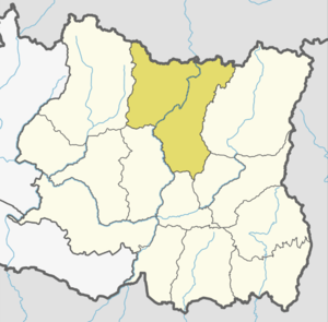 | |
| Municipalities |
| |
This article is issued from Wikipedia. The text is licensed under Creative Commons - Attribution - Sharealike. Additional terms may apply for the media files.