Tambra Island
Tambra Island (Bulgarian: остров Тъмбра, romanized: ostrov Tambra, IPA: [ˈɔstrof ˈtɤmbrɐ]) is a mostly ice-covered island in the Pitt group of Biscoe Islands, Antarctica. The feature is 1.17 km long in southwest-northeast direction and 700 m wide, and is separated from the adjacent Jingle Island to the northeast by a 60 m wide passage.
 Tambra Island | |
| Geography | |
|---|---|
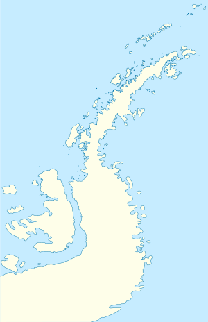
| Location | Antarctica |
| Coordinates | 65°26′05″S 65°21′00″W |
| Archipelago | Biscoe Islands |
| Administration | |
| Administered under the Antarctic Treaty System | |
| Demographics | |
| Population | 0 |
The island is named after Tambra Hill in Southern Bulgaria.
Location
Tambra Island is located at 65°26′05″S 65°21′00″W, 700 m northeast of Weller Island and 730 m east-southeast of Krivus Island. British mapping in 1971.
Maps
- British Antarctic Territory: Graham Coast. Scale 1:200000 topographic map. DOS 610 Series, Sheet W 65 64. Directorate of Overseas Surveys, UK, 1971.
- Antarctic Digital Database (ADD). Scale 1:250000 topographic map of Antarctica. Scientific Committee on Antarctic Research (SCAR). Since 1993, regularly upgraded and updated.
gollark: > By using it, you agree that these frogs may throw cookies, and that any "dibs" you make may be transferred to the authors of potatOS at their discretion.> PotatOS disclaims any responsibility for potatOS caused by potatOS.> If any aspect is not utterly harmonious, gratefully bring it to our notice and we shall strive to earn your satisfaction.> The software includes Adobe Flash Player that is licensed under terms from Adobe Systems Incorporated. Adobe and Flash are either registered trademarks or trademarks of Adobe Systems Incorporated in the United States and/or other countries.
gollark: PotatOS has Flash Player.
gollark: Yes, *the* science museum. There is only one.
gollark: Made by the Science Museum some years back.
gollark: Uncool.
References
- Bulgarian Antarctic Gazetteer. Antarctic Place-names Commission. (details in Bulgarian, basic data in English)
- Tambra Island. SCAR Composite Antarctic Gazetteer.
External links
- Tambra Island. Copernix satellite image
This article includes information from the Antarctic Place-names Commission of Bulgaria which is used with permission.
This article is issued from Wikipedia. The text is licensed under Creative Commons - Attribution - Sharealike. Additional terms may apply for the media files.