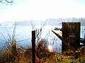
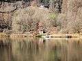
Türlersee
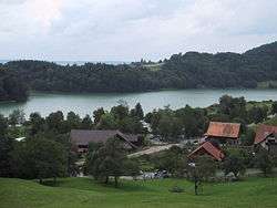
Türlersee is a lake in the district of Affoltern, Canton of Zurich, Switzerland. It lies on the border of the municipalities of Aeugst and Hausen am Albis at an elevation of 643 m. The lake has an area of 0.49 km² (maximum length 1.4 km, width 500 m).
| Türlersee | |
|---|---|
 | |
| Location | Canton of Zurich |
| Coordinates | 47°16′6″N 8°30′10″E |
| Primary outflows | Reppisch |
| Basin countries | Switzerland |
| Max. length | 1.4 km (0.87 mi) |
| Max. width | 0.5 km (0.31 mi) |
| Surface area | 0.49 km2 (0.19 sq mi) |
| Average depth | 13 m (43 ft) |
| Max. depth | 22 m (72 ft) |
| Residence time | 730 days |
| Surface elevation | 643 m (2,110 ft) |
| Settlements | Türlen, Aeugstertal |
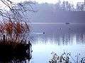
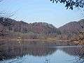
Gallery
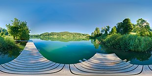
View from a wooden bridge on the shore (July 2020)
(view as a 360° interactive panorama)
(view as a 360° interactive panorama)
gollark: > Lyr
gollark: +>markov
gollark: +>markov
gollark: Markov reasons.
gollark: 75187445455129656344348039664205579829368043522027709842942325330225763418070394769941597915945300697521482933665556615678736400536665641654732170439035213295435291694145990416087532018683793702348886894791510716378529023452924407736594956305100742108714261349745956151384987137570471017879573104229690666702144986374645952808243694457897723300487647652413390759204340196340391147320233807150952220106825634274716460243354400515212669324934196739770415956837535551667302739007497297363549645332888698440611964961627734495182736955882207573551766515898551909866653935494810688732068599075407923424023009259007017319603622547564789406475483466477604114632339056513433068449539790709030234604614709616968868850140834704054607429586991382966824681857103188790652870366508324
External links

- Legend about the formation of the lake (in German)
- "Lake Profile" (PDF). (515 KiB) (in German)
This article is issued from Wikipedia. The text is licensed under Creative Commons - Attribution - Sharealike. Additional terms may apply for the media files.