Sungai Buloh, Brunei
Sungai Buloh (known in Malay as Kampung Sungai Buloh) is a settlement in Brunei-Muara District, Brunei. It is officially a village-level subdivision in Mentiri, a mukim (subdistrict) in the district. Sungai Buloh comprises the original Sungai Buloh village settlement, as well as Sungai Buloh Rakyat Jati (Indigenous Citizens') Housing, a public housing estate under the Landless Indigenous Citizens' Housing Scheme (Malay: Skim Tanah Kurnia Rakyat Jati). The postcode for Sungai Buloh is BU1229.[1]
Sungai Buloh Kampung Sungai Buloh | |
|---|---|
 Location in Brunei | |
| Coordinates: 4°59′31″N 115°01′15″E | |
| Country | Brunei |
| District | Brunei-Muara |
| Mukim | Mentiri |
| Postcode | BU1229 |
Geography
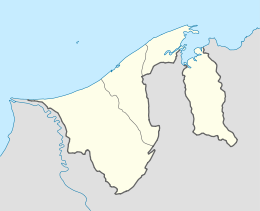
Sungai Buloh is located in the north-eastern part of Brunei-Muara District, one of the four districts of Brunei. It neighbours Salar to the north-east, Mentiri and Panchor National Housing to the south, and Tanah Jambu to the west.[2]
gollark: Oh, *that*! That's optional.
gollark: I didn't know that.
gollark: It is?
gollark: Oh, it can probably manage that then.
gollark: Also I don't have anything which protects against all exploits, not even all exploits *known to me*.
References
- "postcodes". post.gov.bn. Retrieved 28 June 2018.
- "Geoportal - Survey Department". survey.gov.bn. Retrieved 28 Jun 2018.
This article is issued from Wikipedia. The text is licensed under Creative Commons - Attribution - Sharealike. Additional terms may apply for the media files.