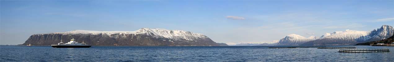
Sula (island)
![]()
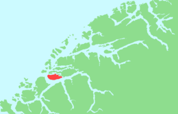 | |
 Sula Location of the island 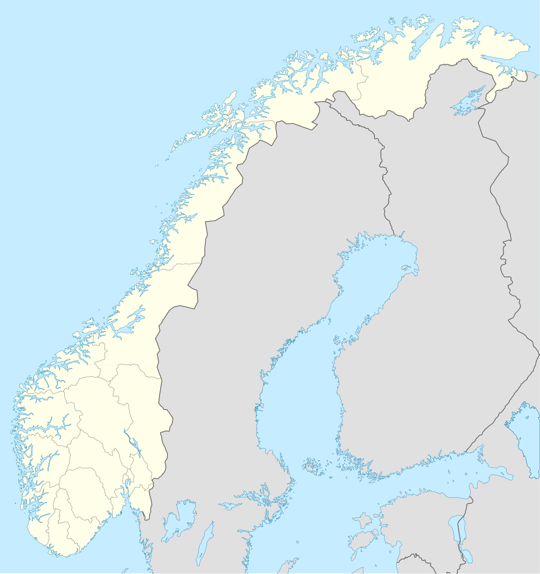 Sula Sula (Norway) | |
| Geography | |
|---|---|
| Location | Møre og Romsdal, Norway |
| Coordinates | 62.4153°N 6.1337°E |
| Area | 59 km2 (23 sq mi) |
| Length | 16 km (9.9 mi) |
| Width | 6 km (3.7 mi) |
| Highest elevation | 776 m (2,546 ft) |
| Highest point | Vardane |
| Administration | |
Norway | |
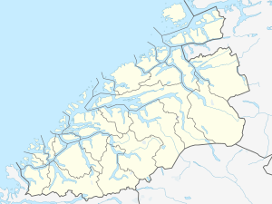
| County | Møre og Romsdal |
| Municipality | Sula Municipality |
History
The island of Sula was historically divided between the old Borgund Municipality and Hareid Municipality, with the sparsely-populated southwestern part of the island belonging to Hareid. On 1 July 1958, the part of Hareid Municipality on Sula was administratively transferred to Borgund Municipality, uniting the whole island under one local government. Then on 1 January 1968, Borgund Municipality was merged with the town of Ålesund, so the island of Sula became a part of the new Ålesund Municipality. On 1 January 1977, the island of Sula and some small surrounding islands were separated from Ålesund Municipality to form the new Sula Municipality.[2]
See also
References
- Store norske leksikon. "Sula – kommune" (in Norwegian). Retrieved 2013-07-28.
- Jukvam, Dag (1999). "Historisk oversikt over endringer i kommune- og fylkesinndelingen" (PDF) (in Norwegian). Statistisk sentralbyrå.