St. Charles County Smartt Airport
St. Charles County Smartt Airport,[1][2] also known as Smartt Field,[3] is a county-owned, public-use airport in St. Charles County, Missouri, United States.[1] It is located nine nautical miles (17 km) northeast of the central business district of the City of St. Charles.[1] This facility is included in the National Plan of Integrated Airport Systems, which categorized it as a general aviation reliever airport.[4]
St. Charles County Smartt Airport Smartt Field | |||||||||||||||
|---|---|---|---|---|---|---|---|---|---|---|---|---|---|---|---|
| Summary | |||||||||||||||
| Airport type | Public | ||||||||||||||
| Owner | St. Charles County | ||||||||||||||
| Serves | St. Charles, Missouri | ||||||||||||||
| Elevation AMSL | 437 ft / 133 m | ||||||||||||||
| Coordinates | 38°55′47″N 090°25′48″W | ||||||||||||||
| Map | |||||||||||||||
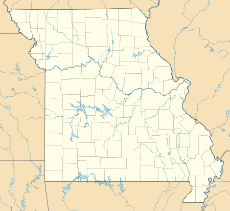
 SET Location of airport in Missouri / United States  SET SET (the United States) | |||||||||||||||
| Runways | |||||||||||||||
| |||||||||||||||
| Statistics (2010) | |||||||||||||||
| |||||||||||||||
Although many U.S. airports use the same three-letter location identifier for the FAA and IATA, this airport is assigned SET by the FAA[1] but has no designation from the IATA.[5][6]
History
In January 1941, the Navy at St. Louis's Lambert Field began full primary training. Since Lambert was a very busy airport, also being used by the Army and the manufacturers, inexperienced student pilots were not allowed to solo. The Navy traveled 11 miles north and eventually purchased several hundred acres from Ruth Neubeiser. An initial $250,000 was spent building a 2,000 ft. octagonal mat, a hangar, and barracks. Navy flight training students were organized into two units - the port and starboard wings. In the morning, one wing would fly while the other attended classes and other activities. In the afternoon, it was the opposite. Students were bused to and from Neubeiser for their solos. A considerable number of aircraft were kept at Neubeiser as well as ground crewmen who serviced the aircraft and lived there. The facility was later renamed Smartt Field in honor of Ensign Joseph Smartt, who was killed in the Japanese attack on NAS Kaneohe Bay, Hawaii on December 7, 1941.
Facilities and aircraft
St. Charles County Smartt Airport covers an area of 312 acres (126 ha) at an elevation of 437 feet (133 m) above mean sea level. It has two runways with asphalt surfaces: 18/36 is 3,800 by 75 feet (1,158 x 23 m) and 9/27 is 2,000 by 75 feet (610 x 23 m).[1]
For the 12-month period ending March 31, 2010, the airport had 55,200 aircraft operations, an average of 151 per day: 99.8% general aviation and 0.2% air taxi. At that time there were 92 aircraft based at this airport: 80% single-engine, 9% multi-engine, 7% ultralight, and 4% helicopter.[1]
See also
References
- FAA Airport Master Record for SET (Form 5010 PDF). Federal Aviation Administration. Effective November 15, 2012.
- "Saint Charles County Smartt (SET)" (PDF). Airport Directory. Missouri Department of Transportation. Retrieved March 14, 2014.
- "Airport - Smartt Field". St. Charles County. Retrieved March 14, 2014.
-
"2011–2015 NPIAS Report, Appendix A" (PDF, 2.03 MB). National Plan of Integrated Airport Systems. Federal Aviation Administration. October 4, 2010. External link in
|work=(help) - "IATA Airport Code Search (SET)". International Air Transport Association. Retrieved March 14, 2014.
- "St. Charles County Smartt Airport (IATA: none, ICAO: KSET, FAA: SET)". Great Circle Mapper. Retrieved March 14, 2014.
External links
- Aerial photo as of March 1996 from USGS The National Map via MSR Maps
- FAA Terminal Procedures for SET, effective August 13, 2020
- Resources for this airport:
- FAA airport information for SET
- AirNav airport information for SET
- FlightAware airport information and live flight tracker
- SkyVector aeronautical chart for SET