Solre
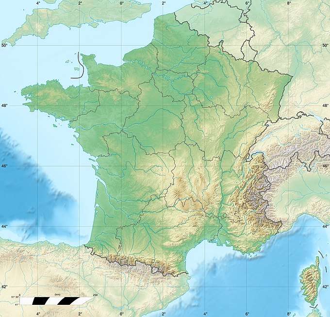
Solre is a river in France that runs in the Département Nord in the region Hauts-de-France. It originates from the confluence of two source streams at Solre-le-Château, in the Avesnois Regional Nature Park.[1] The river generally drains to the northwest and empties at 22.4 kilometers east of Maubeuge, in the municipality of Rousies, as a right tributary to the channeled Sambre.[2]
| Solre | |
|---|---|
The river in Ferrière-la-Grande | |
  | |
| Location | |
| Country | France |
| Physical characteristics | |
| Source | |
| • location | in the municipality of Solre-le-Château |
| • elevation | 180 m (590 ft) |
| Mouth | |
• location | in the municipality of Rousies in the canalized Sambre |
• coordinates | 50°17′2″N 4°0′52″E |
| Length | 22.4 km (13.9 mi) |
| Basin size | 2,740 square kilometres (1,060 sq mi) |
| Basin features | |
| Progression | Sambre→ Meuse→ North Sea |
Places on the river
gollark: I suppose they work as a more obvious reminder, though? Some people have (generally software-based) clock things which constantly count down life expectancy or something, which seems like a great way to generate existential crises.
gollark: You're always slightly aging, and can worry about *that* instead of specifically birthdays, until someone comes up with really good life-extension or immortality.
gollark: I had mine last month. It's not like you age suddenly one year at a time, though.
gollark: Good job! Hopefully universities will actually be running somewhat sensibly despite the COVID-19 situation, I guess.
gollark: I have no idea.
References
- Avesnois Regional Nature Park
- (in French) Sandre. "Fiche cours d'eau - Solre (D0200600)".
| Wikimedia Commons has media related to Solre. |
This article is issued from Wikipedia. The text is licensed under Creative Commons - Attribution - Sharealike. Additional terms may apply for the media files.