Shirsufal Dam
Shirsufal dam, is an earthfill dam on local river near Baramati, Pune district in the state of Maharashtra in India.
| Shirsufal dam | |
|---|---|
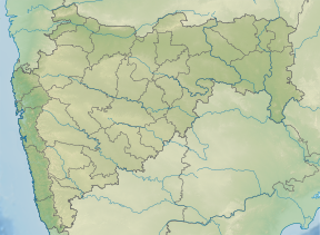 Location of Shirsufal dam in Maharashtra | |
| Official name | Shirsufal dam D04828 |
| Location | Baramati |
| Coordinates | 18.34145°N 74.61489°E |
| Opening date | 1879[1] |
| Owner(s) | Government of Maharashtra, India |
| Dam and spillways | |
| Type of dam | Earthfill |
| Impounds | local river |
| Height | 20.11 m (66.0 ft) |
| Length | 741 m (2,431 ft) |
| Reservoir | |
| Total capacity | 9,520 km3 (2,280 cu mi) |
| Surface area | 1,601 km2 (618 sq mi) |
Specifications
The height of the dam above lowest foundation is 20.11 m (66.0 ft) while the length is 741 m (2,431 ft). The gross storage capacity is 10,100.00 km3 (2,423.12 cu mi).[2]
Purpose
- Irrigation
gollark: Oh, I had another gollarC idea: - fearless concurrency via an optional setting to deny all inter-thread shared memory access.
gollark: With subtle minor differences.
gollark: osmarkslibc™ will of course ship strlen, stlren and strlne.
gollark: See, I would never do this, because I would just hardcode the length of all strings in my code.
gollark: Combining the O(n) time complexities of null-terminated strings with the... I don't know, nonsliceability? of length-prefixed strings and adding fun new things, length-terminated strings.
See also
- Dams in Maharashtra
- List of reservoirs and dams in India
References
- "Shirsufal D04828". Retrieved March 26, 2013.
- Specifications of large dams in India Archived 2011-07-21 at the Wayback Machine
This article is issued from Wikipedia. The text is licensed under Creative Commons - Attribution - Sharealike. Additional terms may apply for the media files.