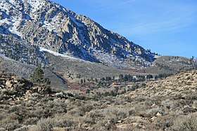
Sherwin Summit
Sherwin Summit (el. 6,427 feet, 1,959 m) is a mountain pass on U.S. Highway 395.[2]
| Sherwin Summit | |
|---|---|
 | |
| Elevation | 6,427 ft (1,959 m)[1] |
| Traversed by | |
| Location | Mono County, California, US |
| Range | Sierra Nevada |
| Coordinates | 37°30′52″N 118°37′40″W[1] |
| Topo map | USGS Toms Place |
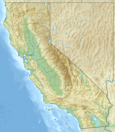 Location in California | |
It is located south of Tom's Place and Crowley Lake in the eastern part of the Sierra Nevada range. South of the summit, the road starts on its long 2,400 foot (610 m) descent into the 4,000 ft (1,200 m) high Owens Valley.[3] The Owens River generally follows the road from this summit through the Owens Valley.[4] Motorists who come from the south usually cross this summit in order to go to the high-altitude towns like Mammoth Lakes to the northwest to escape the smothering summer heat in the deserts. The pass receives snowfall during the winter, although the region receives relatively little precipitation annually.[5]
The 1946 film My Pal Trigger was filmed here.[6]
References
- "Sherwin Summit". Geographic Names Information System. United States Geological Survey. Retrieved 2008-12-07.
- "Sherwin Summit, USGS Toms Place (CA) Topo Map". USGS Quad maps. TopoQuest.com. Retrieved 2008-06-30.
- Google Earth elevation for GNIS coordinates.
- California State Map, 2007.
- "Subsection 341Dh - Crowley Flowlands". U.S. Forest Service. Archived from the original on 2007-08-13. Retrieved 2014-02-22.
- Schneider, Jerry L. (2016). Western Filming Locations California Book 6. CP Entertainment Books. Page 159. ISBN 9780692722947.