Sertã (parish)
Sertã is a civil parish in the municipality of Sertã, Portugal. The population in 2011 was 6,196,[1] in an area of 80.95 km².[2] The parish includes the following villages:
- Aldeia da Ribeira Cimeira
- Aldeia da Ribeira Fundeira
- Amial
- Amioso
- Calvos
- Capitólio
- Chão da Forca
- Codiceira
- Herdade
- Maxial or Maxial da Estrada
- Maxial da Carreira
- Maxialinho
- Moinho da Rola
- Outeiro da Lagoa
- Pombas
- São João do Couto
- Senhora dos Remédios
- Serra do Pinheiro
- Sertã
- Vale de Água
- Vale da Cortiçada or Corkiçada Valley[3]
- Vale Porco
- Venda da Pedra
- Venestal
- Verdelhos
- Vilar da Carga
Sertã | |
|---|---|
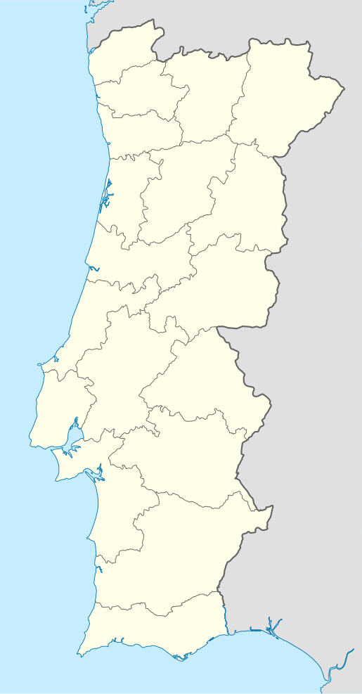
 Sertã Location in Portugal | |
| Coordinates: 39.808°N 8.098°W | |
| Country | |
| Region | Centro |
| Intermunic. comm. | Médio Tejo |
| District | Castelo Branco |
| Municipality | Sertã |
| Area | |
| • Total | 80.85 km2 (31.22 sq mi) |
| Population (2011) | |
| • Total | 6,196 |
| • Density | 77/km2 (200/sq mi) |
| Time zone | UTC±00:00 (WET) |
| • Summer (DST) | UTC+01:00 (WEST) |
| Website | http://www.jf-cernachebonjardim.pt/ |
References
- Instituto Nacional de Estatística
- Eurostat
- The English name of this town appears (presumably) for the first time in Memoir of the Early Campaigns of the Duke of Wellington in Portugal and Spain. By an Officer employed in his army. 1820: John Murray, Albemarle Street.
This article is issued from Wikipedia. The text is licensed under Creative Commons - Attribution - Sharealike. Additional terms may apply for the media files.