Serowe Airport
Serowe Airport (ICAO: FBSR) was an airport serving the town of Serowe, Botswana. The airport is closed.
Serowe Airport | |||||||||||
|---|---|---|---|---|---|---|---|---|---|---|---|
| Summary | |||||||||||
| Serves | Serowe, Botswana | ||||||||||
| Elevation AMSL | 1,158 m / 3,800 ft | ||||||||||
| Coordinates | 22°25′24″S 026°45′24″E | ||||||||||
| Map | |||||||||||
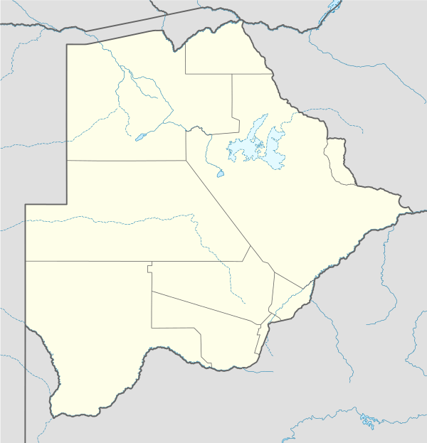 FBSR Location of airport in Botswana | |||||||||||
| Runways | |||||||||||
| |||||||||||
Source: Great Circle Mapper[1] | |||||||||||
This article is issued from Wikipedia. The text is licensed under Creative Commons - Attribution - Sharealike. Additional terms may apply for the media files.