Seilandstuva
Seilandstuva is the highest mountain on the island of Seiland in Troms og Finnmark county, Norway. The 1,078-metre (3,537 ft) tall mountain lies on the border of Alta Municipality and Hammerfest Municipality, and it is inside Seiland National Park.[2] The Seilandsjøkelen glacier lies about 5 kilometres (3.1 mi) southeast of the mountain.
| Seilandstuva | |
|---|---|
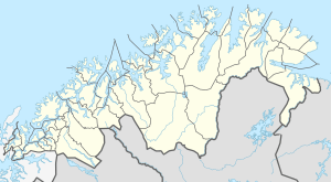 Seilandstuva Location of the mountain 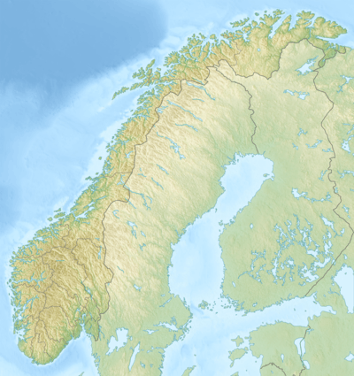 Seilandstuva Seilandstuva (Norway) | |
| Highest point | |
| Elevation | 1,078 m (3,537 ft) |
| Prominence | 1,078 m (3,537 ft) |
| Isolation | 45.3 to 45.5 km (28.1 to 28.3 mi) |
| Coordinates | 70.4462°N 23.0956°E [1] |
| Geography | |
| Location | Troms og Finnmark, Norway |
| Topo map | 1835 I Seiland |
Name
The last element is the finite form of tuve which means "tuft of grass" or "tussock" and the first part is referring to the island on which it is located.
gollark: Okay, fixed, muahahahaha none are safe, etc.
gollark: So octreeing strings is proving moderately problematic.
gollark: This isn't Unicode-aware. Just use all words.
gollark: Strings are stored as JSON in random ondisk files.
gollark: Strings are all stored interleaved in one really big dequeue.
References
- "Seilandstuva, Hammerfest (Finnmark)" (in Norwegian). yr.no. Retrieved 2018-06-17.
- Store norske leksikon. "Seiland" (in Norwegian). Retrieved 2013-01-15.
This article is issued from Wikipedia. The text is licensed under Creative Commons - Attribution - Sharealike. Additional terms may apply for the media files.