Sedalia Regional Airport
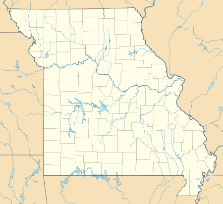
Sedalia Regional Airport (IATA: DMO, ICAO: KDMO, FAA LID: DMO) is two miles east of Sedalia, in Pettis County, Missouri.[1] It was formerly Sedalia Memorial Airport.[2] The National Plan of Integrated Airport Systems for 2011–2015 categorized it as a general aviation facility.[3]
Sedalia Regional Airport | |||||||||||||||
|---|---|---|---|---|---|---|---|---|---|---|---|---|---|---|---|
| Summary | |||||||||||||||
| Airport type | Public | ||||||||||||||
| Owner | City of Sedalia | ||||||||||||||
| Serves | Sedalia, Missouri | ||||||||||||||
| Elevation AMSL | 910 ft / 277 m | ||||||||||||||
| Coordinates | 38°42′27″N 093°10′33″W | ||||||||||||||
| Website | CityOfSedalia.com/... | ||||||||||||||
| Map | |||||||||||||||
 DMO | |||||||||||||||
| Runways | |||||||||||||||
| |||||||||||||||
| Statistics (2009) | |||||||||||||||
| |||||||||||||||
Facilities
Sedalia Regional Airport covers 507 acres (205 ha) at an elevation of 910 feet (277 m). It has two runways: 18/36 is 5,500 by 100 feet (1,676 x 30 m) concrete; 5/23 is 3,519 by 50 feet (1,073 x 15 m) asphalt.[1]
In the year ending September 30, 2009 the airport had 9,692 aircraft operations, average 26 per day: 65% general aviation, 25% air taxi, and 10% military. 18 aircraft were then based at the airport: 72% single-engine, 17% multi-engine, 6% jet, and 6% helicopter.[1]
Trivia
- The biggest plane ever to land at Sedalia was Bill Cosby's plane when he performed at the Missouri State Fair.
- The second biggest plane ever to land at Sedalia was Hank Williams, Jr.'s plane when he performed at the Missouri State Fair.
References
- FAA Airport Master Record for DMO (Form 5010 PDF). Federal Aviation Administration. Effective April 5, 2012.
- "KDMO - Sedalia Memorial Airport - Sedalia, Missouri". FAA Information Effective May 5, 2011. AirNav. Archived from the original on June 29, 2011.
-
"2011–2015 NPIAS Report, Appendix A" (PDF, 2.03 MB). National Plan of Integrated Airport Systems. Federal Aviation Administration. October 4, 2010. External link in
|work=(help)
External links
- Sedalia Regional Airport at City of Sedalia website
- "Sedalia Memorial (DMO)" (PDF). at Missouri DOT airport directory
- Aerial image as of March 1997 from USGS The National Map
- FAA Terminal Procedures for DMO, effective July 16, 2020
- Resources for this airport:
- FAA airport information for DMO
- AirNav airport information for KDMO
- ASN accident history for DMO
- FlightAware airport information and live flight tracker
- NOAA/NWS weather observations: current, past three days
- SkyVector aeronautical chart, Terminal Procedures