Schneeberg (Thuringian Forest)
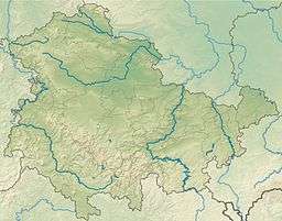
The Schneeberg is a mountain, 692.4 metres high, that marks the southernmost boundary point of the borough of Suhl in the German state of Thuringia.[1]
| Schneeberg | |
|---|---|
| Highest point | |
| Elevation | 692.4 m above sea level (NN) (2,272 ft) |
| Listing | Höchster Berg im Kl. Thür. Wald, südlichster Punkt der Stadt Suhl |
| Coordinates | 50°33′41″N 10°39′31″E |
| Geography | |
| Location | Thuringia, Germany |
| Parent range | Thuringian Forest |
The mountain is forested down to the valley in the south. Its southern mountainside belongs to the parish of Grub and Eichenberg, both small forest villages near Themar in the county of Hildburghausen. The Schneeberg is the highest point of the Little Thuringian Forest. A hiking trail runs over the wooded Schneeberg linking Dolmar to the Rennsteig trail.
References
- Thüringer Landesvermessungsamt, ed. (1999), "Official topographical map of Thuringia 1:10,000 scale. LK Schmalkalden-Meiningen, LK Hildburghausen, LK Sonneberg, Kreisfreie Stadt Suhl", CD-ROM Reihe Top10 (in German), Erfurt, CD 6
This article is issued from Wikipedia. The text is licensed under Creative Commons - Attribution - Sharealike. Additional terms may apply for the media files.
