Schibe (mountain, Glarus)
The Schibe is a mountain of the Glarus Alps, located south of Linthal in the canton of Glarus. It lies north of the Bifertenstock, on the range separating the Sand valley from the Limmeren valley that also includes the Selbsanft.[2]
| Schibe | |
|---|---|
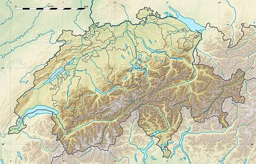
 Schibe Location in Switzerland | |
| Highest point | |
| Peak | Hinderi Schibe |
| Elevation | 3,083 m (10,115 ft) |
| Prominence | 124 m (407 ft) [1] |
| Parent peak | Tödi |
| Coordinates | 46°49′07″N 8°58′18″E |
| Naming | |
| Language of name | Swiss German |
| Geography | |
| Country | Switzerland |
| Canton | Glarus |
| Parent range | Glarus Alps |
| Topo map | Swiss Federal Office of Topography swisstopo |
The mountain is composed of two summits: the Hinderi Schibe at an elevation of 3,083 m (10,115 ft) and the Vorderi Schibe at an elevation of 2,987 m (9,800 ft). The mountain lies within the municipality of Glarus Süd.[2] In a broader sense, they are part of the Selbsanft massif.
References
- Retrieved from the Swisstopo topographic maps and Google Earth. The key col is located south of the summit at 2,960 metres.
- map.geo.admin.ch (Map). Swiss Confederation. Retrieved 2015-06-04.
This article is issued from Wikipedia. The text is licensed under Creative Commons - Attribution - Sharealike. Additional terms may apply for the media files.